Category:1926 maps of Georgia (U.S. state)
States of the United States: Georgia · Hawaii · Illinois · Massachusetts · Michigan · North Carolina · North Dakota · Pennsylvania · Texas · Wisconsin
| 1926 |
Media in category "1926 maps of Georgia (U.S. state)"
The following 2 files are in this category, out of 2 total.
-
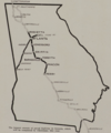
 Major highways in Georgia, 1926.png 647 × 820; 867 KB
-
 Map of paved highway in Georgia, 1926.png 765 × 917; 895 KB

