Category:Aerial photographs of Shinano River
Media in category "Aerial photographs of Shinano River"
The following 23 files are in this category, out of 23 total.
-
 20070322信濃川魚野川合流点拡大.jpg 1,280 × 960; 335 KB
-
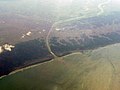 20090321大河津分水.jpg 1,280 × 960; 314 KB
-
 20090621魚沼丘陵.jpg 1,280 × 960; 359 KB
-
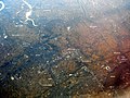
 Aerial photo of Niigata 24-May-2019.jpg 4,624 × 3,088; 3.36 MB
-
 BigSwan.JPG 2,816 × 2,112; 2.83 MB
-
 CCB20111-C1-1 Kanbara Ozeki and Nakanokuchigawa Sluice.jpg 3,317 × 1,866; 1.09 MB
-
 Domura I power station survey 1976.jpg 394 × 295; 43 KB
-
 MatsumotoBonchi.jpg 1,280 × 923; 226 KB
-
 Nagano-City-ground.jpg 5,472 × 3,648; 10.33 MB
-
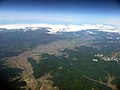 NaganoBonchi.jpg 1,280 × 960; 239 KB
-
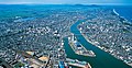
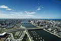
 Nagaoka from the sky.jpg 4,000 × 3,000; 1.33 MB
-
 Niigata West Port 2019.jpg 4,320 × 2,883; 2.57 MB
-
 NiigataCityOpenData kuusatsu001.jpg 4,256 × 2,764; 6.6 MB
-
 NiigataCityOpenData kuusatsu002.jpg 8,173 × 4,204; 16.19 MB
-
 NiigataCityOpenData machinami004.jpg 8,040 × 5,340; 8.05 MB
-
 SaiRiverJoinsChikumaRiver.jpg 480 × 640; 85 KB
-
 Uminokuchi power station 1976.jpg 783 × 587; 170 KB
-
 Unno-Juku post town district Aerial photograph.1975.jpg 2,460 × 1,774; 3.63 MB
-
 Usuda power station 1975.jpg 619 × 465; 99 KB
-
【国土地理院】長野県長野市大字大町付近の被害箇所.webm 2 min 10 s, 1,920 × 1,080; 64.25 MB
-
【国土地理院】長野県長野市大字穂保付近の被害箇所1.webm 2 min 41 s, 1,920 × 1,080; 64.83 MB
-
【国土地理院】長野県長野市大字穂保付近の被害箇所2.webm 3 min 2 s, 1,920 × 1,080; 94.69 MB
-
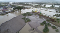 令和元年台風第19号における長野県長野市大字穂保地区における千曲川の破堤箇所.png 1,920 × 1,080; 2.12 MB


