Category:Bodies of water in Yarmouth, Maine
Media in category "Bodies of water in Yarmouth, Maine"
The following 17 files are in this category, out of 17 total.
-
 1 Main Street, Yarmouth, Maine.jpg 1,536 × 2,048; 1.12 MB
-
 Brickyard Hollow 2, Yarmouth, Maine.jpg 2,436 × 1,026; 404 KB
-
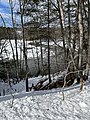
 Brickyard Hollow, Yarmouth ME.jpg 1,928 × 1,314; 460 KB
-
 Broad Cove Yarmouth Maine.jpg 4,026 × 1,060; 608 KB
-
 Cleaves Brook.jpg 4,032 × 3,024; 6.59 MB
-
 Cousins River.jpg 3,024 × 4,032; 6.12 MB
-
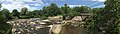 Grist Mill Park.jpg 8,432 × 2,384; 5.77 MB
-
 Larrabees Landing.jpeg 3,024 × 4,032; 3.39 MB
-
 Lower Falls, Yarmouth ME.jpg 664 × 584; 82 KB
-
 Lower Falls, Yarmouth, Maine.jpg 1,600 × 1,200; 1.29 MB
-
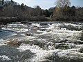
 Second Falls, Yarmouth, Maine.jpg 3,589 × 2,692; 3.08 MB
-
 Second Falls, Yarmouth.jpg 4,032 × 3,024; 3.09 MB
-
 White's Cove.jpg 4,032 × 3,024; 2.72 MB
-
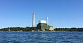 Wyman Power Station.jpg 3,132 × 1,657; 928 KB
-
 Yarmouth Harbor, Yarmouth, Maine 2.jpg 4,002 × 1,655; 1.48 MB
-
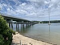
 Yarmouth Harbor, Yarmouth, Maine.jpg 4,032 × 1,796; 1.57 MB
-
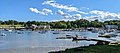
 Yarmouth harbor.jpg 2,454 × 930; 529 KB


