Category:Demographic maps of Ireland
Countries of Europe: Albania · Armenia‡ · Austria · Azerbaijan‡ · Belarus · Bosnia and Herzegovina · Bulgaria · Croatia · Cyprus‡ · Czech Republic · Denmark · Estonia · Finland · France‡ · Georgia‡ · Germany · Greece · Hungary · Iceland · Republic of Ireland · Italy · Kazakhstan‡ · Latvia · Lithuania · Luxembourg · Moldova · Montenegro · Netherlands‡ · North Macedonia · Norway · Poland · Portugal‡ · Romania · Russia‡ · Serbia · Slovakia · Slovenia · Spain‡ · Sweden · Switzerland · Turkey‡ · Ukraine · United Kingdom
Limited recognition: Kosovo
‡: partly located in Europe
Limited recognition: Kosovo
‡: partly located in Europe
Subcategories
This category has the following 3 subcategories, out of 3 total.
Media in category "Demographic maps of Ireland"
The following 15 files are in this category, out of 15 total.
-
 Bi-density.png 663 × 1,069; 132 KB
-
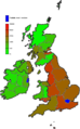
 British Isles population density 2011 countries.svg 871 × 1,346; 1.89 MB
-
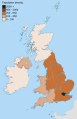 British Isles population density 2011 NUTS1.svg 871 × 1,346; 2.04 MB
-
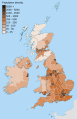
 British Isles population density 2011 NUTS2.svg 871 × 1,346; 2.04 MB
-
 British Isles population density 2011 NUTS3.svg 871 × 1,346; 2.74 MB
-
 County Dublin Population Density Map.png 2,584 × 2,480; 1.13 MB
-
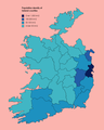
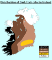 Dark Hair Ireland.png 1,192 × 1,392; 103 KB
-
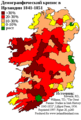
 Ireland population change 1841 1851.png 357 × 513; 15 KB
-
 Ireland protestants 1861 1991.png 601 × 416; 10 KB
-
 Louth Population Density Map 2016.png 2,904 × 2,459; 822 KB
-
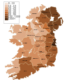
 Population density of Ireland counties.png 2,599 × 3,243; 555 KB
-
 Population density of Ireland map.svg 350 × 421; 6 KB
-
 Population density of Ireland map2002.svg 800 × 1,000; 621 KB
-
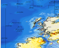 West of scotland population.png 711 × 579; 90 KB
-
 Демографический кризис Ирландии 1841-1851 гг.png 358 × 531; 16 KB


