Category:Distant views of Hill of Wirren
Media in category "Distant views of Hill of Wirren"
The following 21 files are in this category, out of 21 total.
-
 Balbinny Farmhouse and Fields - geograph.org.uk - 151705.jpg 640 × 475; 83 KB
-
 Burn of Freoch and Hill of Wirren - geograph.org.uk - 119273.jpg 640 × 475; 97 KB
-
 Cairn Trench - geograph.org.uk - 180523.jpg 640 × 480; 71 KB
-
 Cottage beside A90 - geograph.org.uk - 90297.jpg 640 × 475; 63 KB
-
 Dowrieburn Pig Farm and Fields - geograph.org.uk - 90213.jpg 640 × 475; 66 KB
-
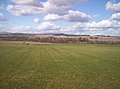
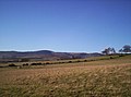
 Field and Hill of Wirren - geograph.org.uk - 112058.jpg 640 × 427; 43 KB
-
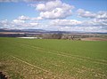
 Fields - geograph.org.uk - 111296.jpg 640 × 475; 57 KB
-
 Fields and Burn - geograph.org.uk - 111364.jpg 640 × 475; 70 KB
-
 Grassy field - geograph.org.uk - 151723.jpg 640 × 475; 77 KB
-
 Hill of Wirren on Xmas Day - geograph.org.uk - 54623.jpg 640 × 475; 71 KB
-
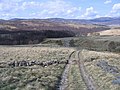 Hill track in Glen Esk - geograph.org.uk - 783373.jpg 640 × 480; 83 KB
-
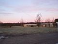
 Hunthill Lodge - geograph.org.uk - 342782.jpg 640 × 480; 79 KB
-
 Morning Moon - geograph.org.uk - 327487.jpg 640 × 481; 59 KB
-

-
-

-
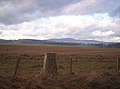 Trig Point - geograph.org.uk - 111333.jpg 640 × 475; 76 KB
-

-

-

-


