Category:Distant views of Saddle Yoke
Media in category "Distant views of Saddle Yoke"
The following 14 files are in this category, out of 14 total.
-

-
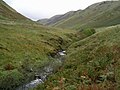 Blackhope Burn - geograph.org.uk - 63355.jpg 640 × 480; 270 KB
-
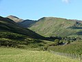
 Broken Back from Croft Head - geograph.org.uk - 1063700.jpg 640 × 359; 52 KB
-
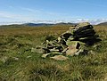 Cairn near Ferny Hill - geograph.org.uk - 550121.jpg 640 × 483; 138 KB
-
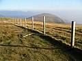
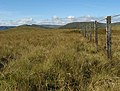 Fence on Ferny Hill - geograph.org.uk - 552920.jpg 640 × 483; 142 KB
-
 Firthope Rig with Snow - geograph.org.uk - 131960.jpg 640 × 480; 110 KB
-
 From Roundstonefoot - geograph.org.uk - 552058.jpg 640 × 480; 86 KB
-
 Gap in the fence on Black Knowe Head - geograph.org.uk - 550211.jpg 640 × 480; 117 KB
-
 Molls Cleuch Dod - geograph.org.uk - 463670.jpg 480 × 640; 89 KB
-
 Summit, Hartfell Rig - geograph.org.uk - 68093.jpg 640 × 480; 270 KB
-
 The fields at Capplegill - geograph.org.uk - 948644.jpg 640 × 437; 61 KB
-
 The Saddle Yokes from Falcon Craig - geograph.org.uk - 1076987.jpg 640 × 359; 50 KB
-
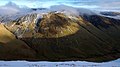
 The Saddle Yokes from Hart Fell - geograph.org.uk - 1076952.jpg 640 × 359; 41 KB
-
 View towards West Grain Burn - geograph.org.uk - 550195.jpg 640 × 480; 132 KB


