Category:Homantin Government Secondary School
| Object location | | View all coordinates using: OpenStreetMap |
|---|
中文:何文田官立中學
secondary school in Hong Kong  | |||||
| Upload media | |||||
| Instance of | |||||
|---|---|---|---|---|---|
| Location | Kowloon City District, Hong Kong, PRC | ||||
| Inception |
| ||||
| official website | |||||
 | |||||
Media in category "Homantin Government Secondary School"
The following 8 files are in this category, out of 8 total.
-
 Entrance of Homantin Government Secondary School.jpg 5,923 × 3,892; 11.36 MB
-
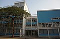
 HK HomantinGovernmentSecondarySchool.JPG 1,280 × 960; 343 KB
-

-
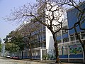
 Ho Man Tin Shek Ku Street.jpg 1,600 × 1,200; 453 KB
-
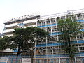 Homantin Government Secondary School.JPG 3,648 × 2,736; 1.83 MB
-
 North of Homantin Government Secondary School.jpg 1,875 × 1,250; 1.52 MB
-
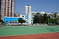
 Perth Street.JPG 3,648 × 2,736; 2.08 MB
-
 South of Homantin Government Secondary School.jpg 6,000 × 4,000; 12.61 MB


