Category:Maps of 16th-century Italy

Media in category "Maps of 16th-century Italy"
The following 14 files are in this category, out of 14 total.
-
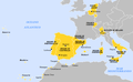
 Spain1580.gif 397 × 312; 6 KB
-

-

-
 Dominios de Felipe II-hu.svg 927 × 573; 521 KB
-
 Dominios de Felipe II-it.png 800 × 494; 67 KB
-
 Dominios de Felipe II-pt.svg 927 × 573; 377 KB
-
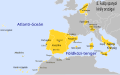
 Dominios de Felipe II.svg 927 × 573; 719 KB
-
 DuchyofFlorence1548.png 375 × 228; 6 KB
-
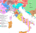 Italia. Cambiamenti territoriali (1495-1535).png 1,500 × 1,381; 372 KB
-
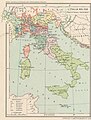
 Itàlia - Fin dei Guèrras d'Itàlia (1559).png 1,050 × 1,069; 380 KB
-
 Map Italy in 1559 - Touring Club Italiano CART-TRC-48 01.jpg 3,189 × 4,222; 3 MB
-
 Map of Italy 1559 (blank).png 3,001 × 3,400; 692 KB
-
 Map of Italy 1559 (tag).png 3,001 × 3,400; 794 KB
-
 Repubblica Venezia espansione in Terraferma.png 1,255 × 659; 359 KB

.jpg)
_(14782407255).jpg)


.png)
.png)

.png)

.png)