Category:Maps of Dittwar
Subcategories
This category has the following 2 subcategories, out of 2 total.
H
R
Media in category "Maps of Dittwar"
The following 6 files are in this category, out of 6 total.
-
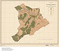
 1907 Dittwar - Bebauung.jpg 800 × 800; 136 KB
-
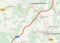
 Anschlussstelle 3 (Tauberbischofsheim) der A 81.png 1,865 × 781; 1.26 MB
-
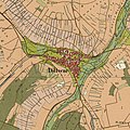
 Dittwar Lage.png 517 × 367; 314 KB
-
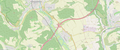
 Karte Lerchenrain bei Tauberbischofsheim-Dittwar.png 1,874 × 841; 647 KB
-
 Lage Dittwarer Ölkuchen.png 1,859 × 773; 1,003 KB
-

_der_A_81.png)


_Gemarkung_Dittwar_1907.jpg)