Category:Maps of French West Africa
Wikimedia category | |||||
| Upload media | |||||
| Instance of | |||||
|---|---|---|---|---|---|
| Category combines topics | |||||
| French West Africa | |||||
French colonial federation in west Africa from 1895 to 1958   | |||||
| Instance of | |||||
| Part of |
| ||||
| Location |
| ||||
| Capital |
| ||||
| Basic form of government | |||||
| Official language | |||||
| Currency |
| ||||
| Inception |
| ||||
| Dissolved, abolished or demolished date |
| ||||
| Replaces | |||||
| Replaced by |
| ||||
 | |||||
Subcategories
This category has the following 5 subcategories, out of 5 total.
D
- Maps of French Dahomey (5 F)
M
- Maps of French Sudan (14 F)
- Maps of French Upper Volta (2 F)
S
- Maps of French Senegal (2 F)
T
- Maps of French Togo (4 F)
Media in category "Maps of French West Africa"
The following 33 files are in this category, out of 33 total.
-
 1913년 프랑스령 서아프리카 지도.png 440 × 363; 35 KB
-
-
 Agades by US Army Map Service.jpg 6,246 × 5,485; 8.51 MB
-
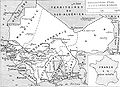 AOFMap1936.jpg 2,200 × 1,600; 476 KB
-
 Bilma by US Army Map Service (Dirkou cropped).jpg 1,173 × 880; 349 KB
-
 Bilma by US Army Map Service.jpg 6,161 × 5,478; 4.6 MB
-
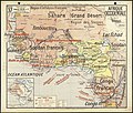
 Britannica French West Africa.png 3,272 × 2,400; 457 KB
-
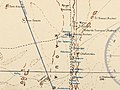
 Carte d'ensemble des chemins de fer de l'Afrique occidentale française.png 1,719 × 958; 820 KB
-

-

-
 Carte de l'Afrique-Occidentale française, 1914.svg 868 × 787; 1.7 MB
-
 Carte de l'Afrique-Occidentale française, 1935.svg 839 × 794; 1.87 MB
-
 Carte de la Sénégambie et du Haut-Niger.jpg 4,000 × 3,058; 2.04 MB
-
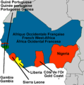 Colonial West-Africa.png 936 × 940; 226 KB
-
 Colonizacion de l'Africa Occidentala.png 1,268 × 561; 311 KB
-
 FrancuskaAfrykaZachodnia.png 292 × 332; 3 KB
-
 French Community 1959.svg 940 × 477; 630 KB
-
 French Community 1961.svg 940 × 477; 821 KB
-
 French West Africa - Georges Estienne.svg 530 × 653; 230 KB
-
 French West Africa 1913 map.png 440 × 363; 46 KB
-
 French west africa countries.PNG 726 × 726; 49 KB
-
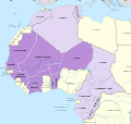
 French west africa.png 2,000 × 2,000; 1.09 MB
-
 French West Africa.png 550 × 550; 81 KB
-
 L'Afrique française Ce qu'elle est (...)Rolland Georges btv1b84460624.jpg 1,024 × 1,114; 270 KB
-
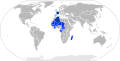
 Location French West Africa.svg 940 × 1,150; 215 KB
-
 Niamey by US Army Map Service.jpg 4,465 × 3,624; 3.32 MB
-
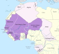
 Pays de l'Afrique-Occidentale française 1923 (orthographique).svg 550 × 550; 214 KB
-
 Rivières du Sud 1889.jpg 779 × 424; 66 KB
-
 Txu-oclc-6595921-nc30-15 crop southwest.jpg 1,341 × 715; 1.36 MB
-
 Txu-oclc-6595921-nc30-15.jpg 5,000 × 3,785; 5.02 MB
-
 West Africa 1885.jpg 850 × 644; 114 KB
-
 Zinder by US Army Map Service.jpg 4,458 × 3,952; 3.56 MB
-
 프랑스령 서아프리카.png 2,000 × 2,000; 517 KB

.jpg)


.jpg)


Rolland_Georges_btv1b84460624.jpg)


.svg)


