Category:Maps of Preston, Lancashire
Subcategories
This category has only the following subcategory.
Media in category "Maps of Preston, Lancashire"
The following 17 files are in this category, out of 17 total.
-
 Ashtoninpreston.gif 509 × 480; 8 KB
-
 Brookfieldinpreston.JPG 504 × 478; 43 KB
-
 Deepdaleinpreston.gif 509 × 480; 7 KB
-
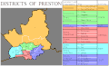 Districts of Preston.GIF 901 × 551; 24 KB
-
 Location map United Kingdom Preston 2012.svg 733 × 449; 5.86 MB
-
 Location map United Kingdom Preston central.svg 400 × 288; 1.25 MB
-
 Location map United Kingdom Preston.svg 733 × 449; 8.68 MB
-
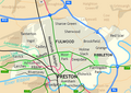 Map of Preston.png 883 × 624; 212 KB
-
 Maudlands railway map 1849.svg 3,838 × 3,203; 73 KB
-
 Maudlands railway map 1892.svg 3,838 × 3,203; 83 KB
-
 Maudlands railway map 2012.svg 3,838 × 3,203; 50 KB
-
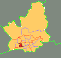
 Preston (sub-division of Preston Urban Area) locator map.png 641 × 702; 64 KB
-
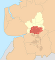 Preston (unparished area) locator map.png 645 × 702; 63 KB
-
 Preston attempt.GIF 509 × 480; 7 KB
-
 Preston Urban Area locator map.png 643 × 703; 65 KB
-
 University ward within City of Preston map.GIF 509 × 480; 7 KB
-
 ZER0 1.jpg 1,508 × 1,068; 1.08 MB


_locator_map.png)
_locator_map.png)


