Category:Maps of earthquakes in the Netherlands
Media in category "Maps of earthquakes in the Netherlands"
The following 4 files are in this category, out of 4 total.
-
 1992 Roermond intensity.jpg 612 × 719; 123 KB
-
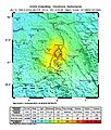
 2011-netherlands.4.2.earthquake.jpg 403 × 676; 83 KB
-
 Earthquakes2000 - 2014.jpg 6,589 × 10,225; 8.17 MB
-
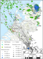 Overview of seismicity in the Netherlands.png 1,600 × 2,204; 3.54 MB


