Category:Maps of national parks of France
Subcategories
This category has only the following subcategory.
P
Media in category "Maps of national parks of France"
The following 25 files are in this category, out of 25 total.
-
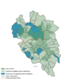 Carte adhésion écrins.png 1,610 × 1,858; 310 KB
-
 Carte du parc amazonien de Guyane.jpg 1,112 × 1,169; 81 KB
-
 Carte GIP localisation regionale.jpg 886 × 815; 338 KB
-
 Carte Parc National des Pyrénées.png 836 × 616; 42 KB
-
 Carte parcs nationaux de france.jpg 1,564 × 1,140; 581 KB
-
 Carte topographique écrins.png 1,610 × 1,858; 262 KB
-
 Le parc national de Port-Cros en mai 2012.jpg 1,000 × 683; 164 KB
-
 Parc national de La Réunion.jpg 853 × 687; 78 KB
-
 Parc naturel de la mer de Corail.svg 2,920 × 2,191; 498 KB
-
 Parcs naturels français d'outre-mer.svg 2,920 × 2,347; 526 KB
-
 Parcs naturels français de métropole.svg 2,000 × 1,930; 539 KB
-
 Parcs naturels français.svg 4,920 × 2,347; 1.12 MB
-
 PNC map-fr.svg 573 × 330; 55 KB
-
 Port-Cros topographic map-fr.svg 1,428 × 951; 591 KB
-
 Provence natural parks map-fr.svg 484 × 440; 1.57 MB
-
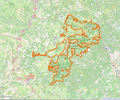 Périmètre PN Cevennes.png 926 × 775; 969 KB
-
 Périmètre PN des Calanques.png 935 × 777; 298 KB
-
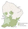
 Périmètre PN Ecrins.png 1,472 × 1,023; 1.16 MB
-
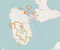 Périmètre PN Guadeloupe.png 932 × 772; 271 KB
-
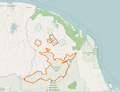 Périmètre PN Guyane.png 1,047 × 804; 303 KB
-
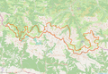
 Périmètre PN Mercantour.png 1,047 × 803; 965 KB
-
 Périmètre PN Port-Cros.png 1,473 × 1,024; 225 KB
-
 Périmètre PN Pyrénées.png 1,473 × 1,021; 1.14 MB
-
 Périmètre PN Réunion.png 1,472 × 956; 622 KB
-
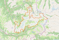 Périmètre PN Vanoise.png 1,472 × 1,023; 931 KB


