Category:Maps of police forces of Wales
Wikimedia category | |||||
| Upload media | |||||
| Instance of | |||||
|---|---|---|---|---|---|
| |||||
Media in category "Maps of police forces of Wales"
The following 25 files are in this category, out of 25 total.
-
 DyfedPowys police area map.svg 1,080 × 1,290; 1.09 MB
-
 England and Wales Police and Crime Commission elections 2012 map.svg 540 × 668; 110 KB
-
 England and Wales Police and Crime Commission elections 2016 map.svg 540 × 668; 108 KB
-
-
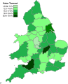
 England and Wales Police and Crime Commission voter turnout 2012 map.png 2,104 × 2,776; 544 KB
-
 England and Wales Police and Crime Commission voter turnout 2012 map.svg 540 × 668; 154 KB
-
 Gwent police area map.svg 1,080 × 1,290; 1.09 MB
-
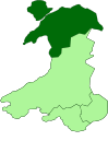
 North Wales police area map.svg 1,080 × 1,290; 1.09 MB
-
 PCC elections 2012 Map of Liberal Democrat candidates.svg 540 × 668; 110 KB
-
 PCC elections 2012 Map of UKIP candidates.svg 540 × 668; 110 KB
-
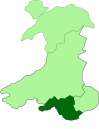
 Police Wales DyfedPowys.svg 744 × 905; 21 KB
-
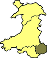
 Police Wales Gwent.svg 744 × 905; 21 KB
-
 Police Wales NorthWales.svg 744 × 905; 21 KB
-
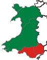
 Police Wales SouthWales.svg 744 × 905; 21 KB
-
 South Wales police area map.svg 1,080 × 1,290; 1.09 MB
-
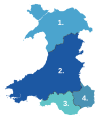
 Wales police areas map.svg 1,080 × 1,290; 1.09 MB
-
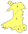
 Wales Police Numbered.png 493 × 600; 35 KB
-
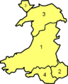
 Wales Police Numbered.svg 512 × 612; 308 KB
-
 WalesPolice.png 400 × 497; 32 KB
-
 WalesPolice.svg 512 × 612; 515 KB
-
 WalesPoliceDyfedPowys.PNG 400 × 497; 29 KB
-
 WalesPoliceGwent.PNG 400 × 497; 29 KB
-
 WalesPoliceNorth.PNG 400 × 497; 29 KB
-
 WalesPoliceSouth.PNG 400 × 497; 29 KB
-
 Welsh Police areas in the United Kingdom.svg 560 × 1,020; 264 KB


