Category:Old maps of Quebec City
Subcategories
This category has the following 5 subcategories, out of 5 total.
Media in category "Old maps of Quebec City"
The following 9 files are in this category, out of 9 total.
-
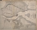
 230 of '1690. Sir William Phips devant Québec. Histoire d'un siége' (11223608013).jpg 2,256 × 1,406; 931 KB
-
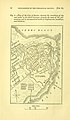
 25 of 'The Plains of Abraham. Notes, original and selected' (11056106185).jpg 2,256 × 1,527; 458 KB
-

-

-
 Admiralty Chart No 319 River St Lawrence Quebec Harbour, Published 1860.jpg 7,703 × 11,743; 7.93 MB
-
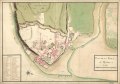 Plan de la ville de Québec. LOC 74694519.tif 9,362 × 6,587; 176.43 MB
-

-
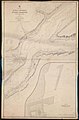
 The Quarterly journal of the Geological Society of London (12511805635).jpg 1,869 × 3,200; 1.05 MB
-
 The Quarterly journal of the Geological Society of London (12511996013).jpg 1,629 × 1,328; 846 KB
.jpg)
.jpg)
.jpg)
%27_(11224613613).jpg)

.jpg)
.jpg)
.jpg)