Category:Old maps of Tharangambadi
Media in category "Old maps of Tharangambadi"
The following 13 files are in this category, out of 13 total.
-
 Carte du district de Tranquebar.jpg 2,344 × 2,968; 1.32 MB
-
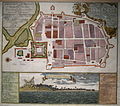 Historic map Tranquebar.JPG 2,356 × 2,077; 1.98 MB
-
 Map of Tranquebar town and fort, MS, 2017-08-02.jpg 2,993 × 2,884; 6.88 MB
-
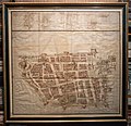
 Map of Tranquebar.jpg 921 × 672; 689 KB
-
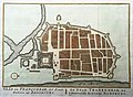
 Old trankebar map.gif 594 × 425; 57 KB
-
 Tranquebar 1740.jpg 1,544 × 1,764; 1.3 MB
-
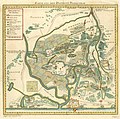
 Tranquebar district.jpg 4,480 × 2,144; 8.34 MB
-
 Tranquebar map 1730 verso.jpg 9,504 × 8,224; 34.31 MB
-
 Tranquebar map 1730.jpg 9,424 × 8,208; 88.35 MB
-
 Tranquebar map 1764.jpg 1,513 × 1,500; 484 KB
-
 Tranquebar map.jpg 4,472 × 4,960; 21.14 MB
-
 Tranquebar plan 1725.jpg 6,900 × 5,840; 25.97 MB
-
 Tranquebar-1733.jpg 1,500 × 1,300; 653 KB


