Category:OpenStreetMap maps of Devon
Media in category "OpenStreetMap maps of Devon"
The following 19 files are in this category, out of 19 total.
-
 Avocet Line.png 1,502 × 1,661; 1.73 MB
-
 Bicton Woodland Railway (OpenStreetMap).png 506 × 455; 99 KB
-
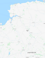
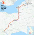 Bristol–Exeter line.png 2,351 × 2,403; 3.08 MB
-
 Dartmoor Line.png 3,250 × 1,920; 2.6 MB
-
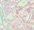
 Dartmouth map.png 1,433 × 924; 478 KB
-
 Exeter location map.png 538 × 629; 471 KB
-
 Exeter–Plymouth line.png 2,296 × 1,801; 2.38 MB
-
 LeighVillageMap.png 693 × 636; 70 KB
-
 Location map Devon Exeter.png 906 × 1,099; 1.11 MB
-
 Location map United Kingdom Exeter Central.png 2,115 × 1,888; 2.28 MB
-
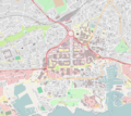
 Location map United Kingdom Exeter.png 1,918 × 2,073; 2.77 MB
-
 Location map United Kingdom Plymouth Central.png 2,115 × 1,888; 1.76 MB
-
 Plymouth Sound, Shores and Cliffs map.png 700 × 700; 311 KB
-
 River Taw - map.png 1,076 × 1,371; 242 KB
-
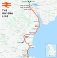 Riviera Line.png 1,978 × 2,027; 2.09 MB
-
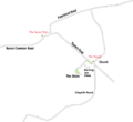
 Rowtor Target Railway on OpenStreetMap.jpg 1,507 × 629; 147 KB
-
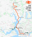 Tamar Valley Line.png 1,578 × 1,812; 1.79 MB
-
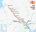 Tarka Line.png 1,789 × 1,580; 1.46 MB
-
 West of England line.png 2,578 × 1,481; 3.19 MB

.png)


