Category:Post boxes in L15 postcode area

The L15 postal area in Liverpool consists of Wavertree and is bounded, roughly speaking, by Smithdown Road, Queens Drive, the railway line from Edge Hill to the Rocket roundabout, and Webster Road/Spofforth Road.
Subcategories
This category has the following 5 subcategories, out of 5 total.
Media in category "Post boxes in L15 postcode area"
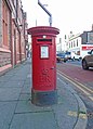
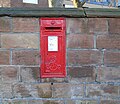
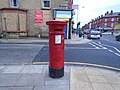
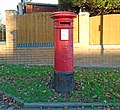
The following 26 files are in this category, out of 26 total.
-
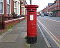
 Post box on Heathfield Road, Wavertree.jpg 3,488 × 3,376; 4.94 MB
-
 Post box on Alderson Road.jpg 5,152 × 3,864; 7.03 MB
-
 Post box on Church Road North, Wavertree.jpg 5,152 × 3,864; 7.42 MB
-
 Post box on Church Road, Wavertree.jpg 3,104 × 3,416; 5 MB
-
 Post box on Northway, Wavertree.jpg 2,304 × 3,472; 3.35 MB
-
 Post box on Wellington Avenue.jpg 2,376 × 3,200; 2.96 MB
-
 Post box on Wavertree High Street.jpg 3,392 × 4,712; 6.88 MB
-
 Post box on Cardigan Street, Wavertree.jpg 3,104 × 3,200; 4.78 MB
-
 Post box on Garmoyle Road.jpg 2,840 × 3,896; 5.23 MB
-
 Post box at Sandy Knowe, Wavertree.jpg 4,032 × 3,504; 6.31 MB
-
 Post box on Woolton Road, Wavertree.jpg 3,520 × 3,424; 6.23 MB
-
 Post box at Ullet Road Post Office.jpg 3,195 × 4,398; 7.64 MB
-
 Post box on Kenmare Road.jpg 5,152 × 3,864; 7.28 MB
-
 Post box on Prince Alfred Road, Wavertree.jpg 5,152 × 3,864; 7.29 MB
-
 Post box on Wavertree Nook Road.jpg 3,864 × 3,536; 7.16 MB
-
 Post box on Crawford Avenue, Liverpool.jpg 5,152 × 3,864; 6.83 MB
-
 Post boxes at Wavertree LDO.jpg 4,432 × 3,624; 6.71 MB
-
 Post box at Taunton Street.jpg 4,312 × 3,432; 6.61 MB
-
 Post box at Penny Lane post office.jpg 3,600 × 3,144; 4.85 MB
-
 Post box on Lance Lane.jpg 3,416 × 3,320; 5.73 MB
-
 Post box on Lawrence Road.jpg 3,648 × 4,800; 8.85 MB
-
 Post box at Beauclair Drive.jpg 2,768 × 3,216; 5.06 MB
-
 Post box at Norwich Road, Wavertree.jpg 3,096 × 3,504; 5.71 MB
-
 Post box on Dunbabin Road, Liverpool.jpg 2,512 × 3,256; 4.2 MB
-
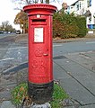
 Post box on Olive Mount Road.jpg 5,152 × 3,864; 7.61 MB
-
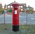
 Post box at ASDA, Smithdown Road.jpg 5,152 × 3,864; 9.03 MB


