Category:Rail transport maps of Hampshire
Media in category "Rail transport maps of Hampshire"
The following 17 files are in this category, out of 17 total.
-
 Alton line.png 1,935 × 1,358; 2.02 MB
-
 Ascot-Guildford line.png 1,506 × 1,930; 2.52 MB
-
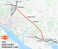 Eastleigh–Fareham line.png 1,856 × 1,542; 2.29 MB
-
 Eastleigh–Romsey line.png 1,475 × 1,081; 1.34 MB
-
 Lymington branch line.png 1,415 × 1,505; 945 KB
-
 West Coastway line.png 2,771 × 1,134; 2.24 MB
-
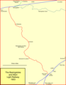 Bas & alt rly.png 1,014 × 1,306; 56 KB
-
 Fawley branch line.png 1,713 × 1,405; 1.95 MB
-
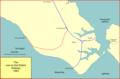 Lee-solent-rly.png 1,513 × 995; 67 KB
-
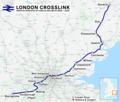 London Crosslink.png 2,353 × 1,992; 5.2 MB
-
 Meon valley rly.png 848 × 1,519; 81 KB
-
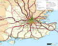 Rail transport infrastructure map - UK - South East England.svg 1,247 × 983; 8.83 MB
-
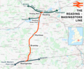
 Reading-Basingstoke Line.jpg 569 × 424; 49 KB
-
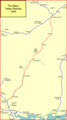
 Reading–Basingstoke line.png 1,812 × 1,494; 1.97 MB
-
 Southampton–Fareham line.png 2,000 × 1,405; 2.12 MB
-
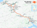 Wessex Main Line.png 2,630 × 2,022; 3.83 MB
-
 West of England line.png 2,578 × 1,481; 3.19 MB


