Category:Rail transport maps of Northamptonshire
Media in category "Rail transport maps of Northamptonshire"
The following 13 files are in this category, out of 13 total.
-

-

-
 East West Rail Consortium overview map.jpg 1,024 × 768; 107 KB
-
 Kettering-huntingdon.png 1,529 × 658; 54 KB
-
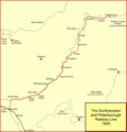 L&br-pbo-rly.png 1,073 × 1,110; 73 KB
-
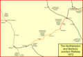 Northampton & Banbury.png 1,552 × 1,078; 84 KB
-
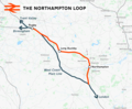 Northampton loop.png 1,648 × 1,360; 1.32 MB
-
 Oakham–Kettering line.png 1,315 × 1,222; 1.02 MB
-
 Planning Board Toton 071022.jpg 5,881 × 2,713; 1.97 MB
-
 Rail transport infrastructure map - UK - East Midlands.svg 983 × 1,020; 6.31 MB
-
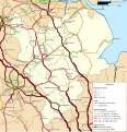
 Railways of Northampton, 1930.png 1,600 × 1,200; 129 KB
-
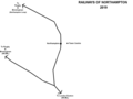 Railways of Northampton, 2019.png 1,600 × 1,200; 74 KB
-
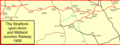 S&MJA.png 1,547 × 575; 79 KB


._Revised_1899._Published_1901.png)