Category:SVG maps of the history of Algeria
Media in category "SVG maps of the history of Algeria"
The following 15 files are in this category, out of 15 total.
-
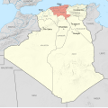 Alger department 1934-1955 map-fr.svg 1,287 × 1,278; 1.79 MB
-
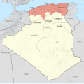
 Constantine department 1934-1955 map-fr.svg 1,287 × 1,278; 1.79 MB
-
 Départements français d'Algérie 1934-1955 map-fr.svg 1,287 × 1,278; 1.79 MB
-
 French Algeria 1934-1955 administrative map-es.svg 1,287 × 1,278; 1.53 MB
-
 French Algeria 1934-1955 administrative map-fr.svg 1,287 × 1,278; 1.73 MB
-
 French Algeria evolution 1830-1962 map-es.svg 1,373 × 1,363; 1.71 MB
-
 French Algeria evolution 1830-1962 map-fr.svg 1,287 × 1,278; 1.86 MB
-
 Map of ibn Abi Mahalli State - Arabic.svg 746 × 580; 306 KB
-
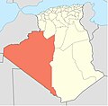
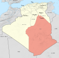 Oasis territory 1934-1955 map-fr.svg 1,287 × 1,278; 1.79 MB
-
 Oqba Ibn Naafi en Afrique du nord ARABE.svg 1,160 × 658; 94 KB
-
 Oran department 1934-1955 map-fr.svg 1,287 × 1,278; 1.79 MB
-
 Palestro ambush map-fr.svg 248 × 294; 418 KB
-
 Région de la Saoura.JPG 510 × 501; 22 KB
-
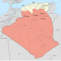 Territoires du Sud 1934-1955 map-fr.svg 1,287 × 1,278; 1.79 MB
-
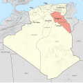 Touggourt territory 1934-1955 map-fr.svg 1,287 × 1,278; 1.79 MB


