Category:SVG topographic maps of South Africa
Media in category "SVG topographic maps of South Africa"
The following 14 files are in this category, out of 14 total.
-
 SANParks relief map af.svg 2,031 × 1,741; 5.54 MB
-
 SANParks relief map.svg 2,031 × 1,741; 5.56 MB
-
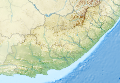 South Africa Eastern Cape relief location map.svg 1,298 × 902; 2.29 MB
-
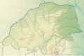
 South Africa Free State relief location map.svg 1,130 × 1,008; 2.24 MB
-
 South Africa Gauteng relief location map.svg 1,061 × 1,046; 1.64 MB
-
 South Africa KwaZulu-Natal relief location map.svg 1,000 × 1,140; 2.28 MB
-
 South Africa Limpopo relief location map.svg 1,282 × 850; 1.8 MB
-
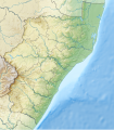
 South Africa Mpumalanga relief location map.svg 1,031 × 1,067; 2.26 MB
-
 South Africa North West location map.svg 1,265 × 878; 163 KB
-
 South Africa North West relief location map.svg 1,265 × 878; 1.22 MB
-
 South Africa Northern Cape relief location map.svg 1,054 × 1,072; 1.65 MB
-
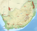
 South Africa physical map.svg 852 × 665; 2.61 MB
-
 South Africa relief location map.svg 2,031 × 1,741; 5.23 MB
-
 South Africa Western Cape relief location map.svg 1,214 × 972; 1.98 MB


