Category:Topographic maps of the Western Cape
Subcategories
This category has only the following subcategory.
Media in category "Topographic maps of the Western Cape"
The following 14 files are in this category, out of 14 total.
-
 De Hoop locator map.svg 1,214 × 972; 1.96 MB
-
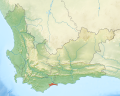
 South Africa Western Cape relief location map.svg 1,214 × 972; 1.98 MB
-
 Western Cape topography labelled (with provincial labels).svg 1,584 × 1,262; 3.81 MB
-
 Western Cape topography labelled.svg 1,584 × 1,262; 3.78 MB
-
 Western Cape topography.svg 1,584 × 1,262; 3.18 MB
-
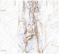
 Western Cape Topology and boundary.jpg 8,000 × 6,372; 9.2 MB
-
 Admiralty Chart No 1232 Saldanha Bay, Published 1934.jpg 11,095 × 16,197; 42.67 MB
-
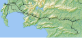
 George-Knysna map.png 868 × 606; 302 KB
-
 Gouritsrivier location map.svg 846 × 691; 1.97 MB
-
 Groot Winterhoek area.png 1,642 × 1,509; 3.2 MB
-
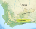 Kleine Karoo map.svg 1,214 × 972; 1.96 MB
-
 Overberg railway line map.svg 1,140 × 526; 1.28 MB
-
 Overberg topographic map.svg 1,300 × 750; 6.53 MB
-
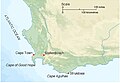 Western Cape Cape Town Stellenbosch Struisbaai.jpg 800 × 556; 88 KB


.svg)


