File:Église du Gésu de Toulouse.jpg
Size of this preview: 536 × 599 pixels. Other resolutions: 215 × 240 pixels | 429 × 480 pixels | 687 × 768 pixels | 916 × 1,024 pixels | 1,831 × 2,048 pixels | 3,175 × 3,551 pixels.
Original file (3,175 × 3,551 pixels, file size: 4.31 MB, MIME type: image/jpeg)
Captions
Captions
Add a one-line explanation of what this file represents
Summary edit
|
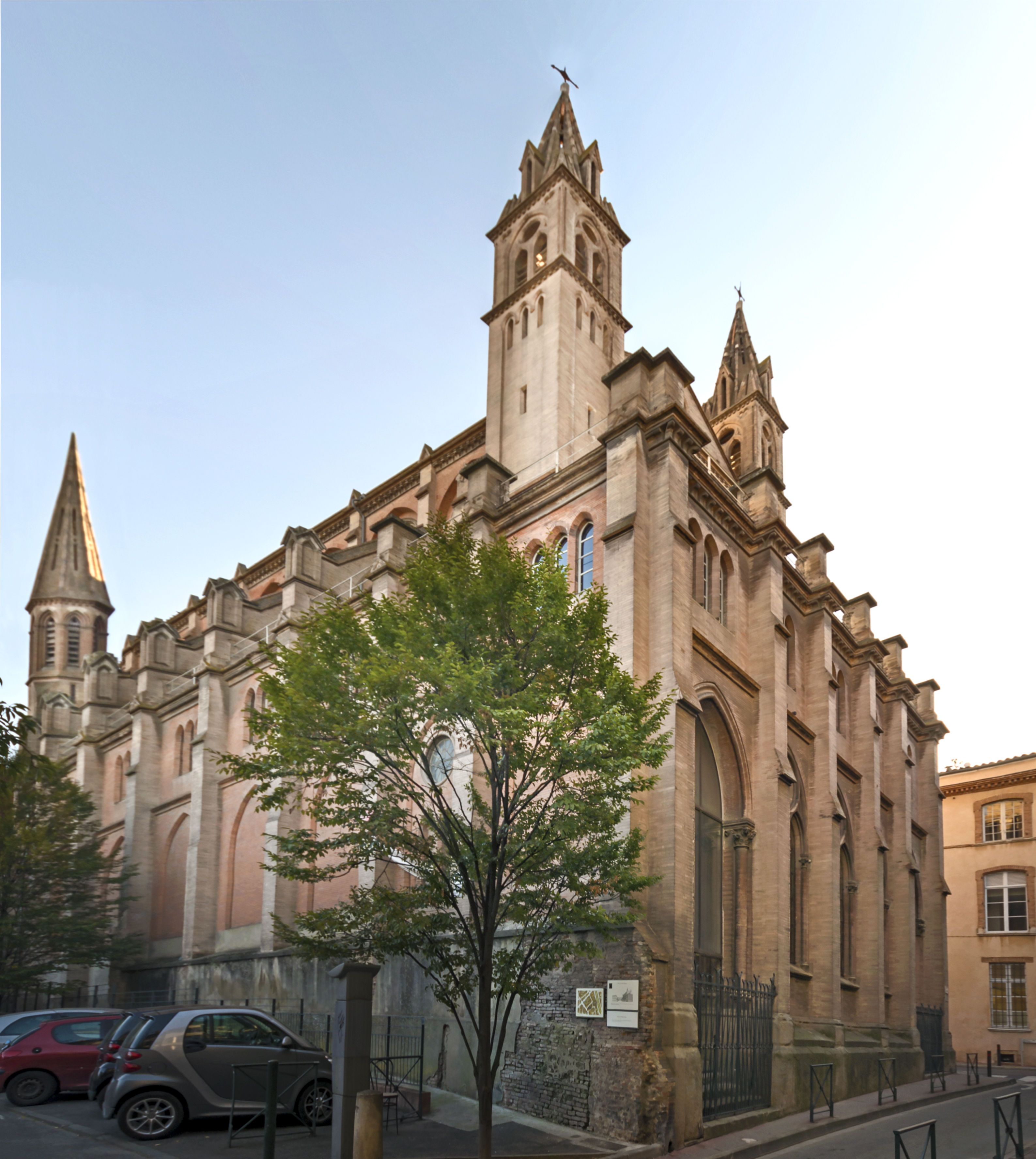
Église du Gésu from Toulouse, facade, Northeast exposure | ||||||||||||||||||||||||||||||||||||
|
Summary edit
| ||||||||||||||||||||||||||||||||||||


File history
Click on a date/time to view the file as it appeared at that time.
| Date/Time | Thumbnail | Dimensions | User | Comment | |
|---|---|---|---|---|---|
| current | 15:10, 19 September 2018 | | 3,175 × 3,551 (4.31 MB) | Archaeodontosaurus (talk | contribs) | corrections |
| 07:28, 29 December 2014 |  | 3,175 × 3,551 (3.82 MB) | Archaeodontosaurus (talk | contribs) | New version | |
| 14:31, 8 November 2014 |  | 3,179 × 3,958 (5.78 MB) | Archaeodontosaurus (talk | contribs) | {{Information |Description ={{en|1=c}} |Source ={{own}} |Author =Archaeodontosaurus |Date = |Permission = |other_versions = }} |
You cannot overwrite this file.
File usage on Commons
The following 10 pages use this file:
- Churches in Toulouse
- User talk:Archaeodontosaurus/Premier semestre 2015
- Commons:Valued image candidates/Église du Gésu de Toulouse.jpg
- File:Rue des Fleurs (Toulouse).jpg
- File:Rue des Fleurs (Toulouse) no 22 bis l'entrée de l'église du Gésu.jpg
- File:Toulouse - Vestiges du rempart médiéval.jpg
- File:Église du Gésu de Toulouse.jpg
- Category:Interior of Église du Gésu (Toulouse)
- Category:Église du Gésu (Toulouse)
- Institution:Église du Gésu de Toulouse
.jpg)
_no_22_bis_l%27entr%C3%A9e_de_l%27%C3%A9glise_du_G%C3%A9su.jpg)
File usage on other wikis
The following other wikis use this file:
- Usage on ca.wikipedia.org
- Usage on fr.wikipedia.org
- Usage on www.wikidata.org
- Usage on zh.wikipedia.org