File:Český kras, cesta.jpg

Size of this preview: 800 × 600 pixels. Other resolutions: 320 × 240 pixels | 640 × 480 pixels | 1,024 × 768 pixels | 1,280 × 960 pixels | 2,560 × 1,920 pixels | 3,264 × 2,448 pixels.
Original file (3,264 × 2,448 pixels, file size: 2.33 MB, MIME type: image/jpeg)
Captions
Captions
Add a one-line explanation of what this file represents
| Description |
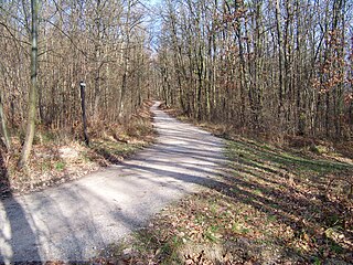
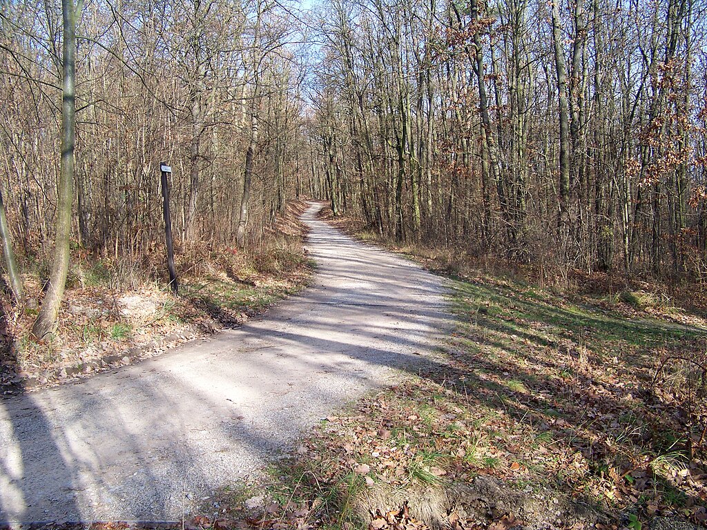
Čeština: Karlštejn-Budňany, okres Beroun. Lesní cesta u záhybu žlutě značené trasy poblíž Kubrychtovy boudy.
|
||||
| Date | |||||
| Source | Own work | ||||
| Author | cs:ŠJů | ||||
| Permission (Reusing this file) |
I, the copyright holder of this work, hereby publish it under the following license: This file is licensed under the Creative Commons Attribution-Share Alike 3.0 Unported license.
|
File history
Click on a date/time to view the file as it appeared at that time.
| Date/Time | Thumbnail | Dimensions | User | Comment | |
|---|---|---|---|---|---|
| current | 01:59, 3 December 2009 | | 3,264 × 2,448 (2.33 MB) | ŠJů (talk | contribs) | {{Information |Description= {{cs|cs:Karlštejn (okres Beroun)-Budňany, cs:okres Beroun. Lesní cesta u záhybu žlutě značené trasy poblíž Kubrychtovy boudy.}} {{en|en:Karlštejn (Beroun District)-Budňany, en:Beroun District |
You cannot overwrite this file.
File usage on Commons
The following page uses this file: