File:Карта Башкирской АССР на начало сентября 1919 года — Юрматынский кантон.svg

Size of this PNG preview of this SVG file: 712 × 600 pixels. Other resolutions: 285 × 240 pixels | 570 × 480 pixels | 912 × 768 pixels | 1,216 × 1,024 pixels | 2,431 × 2,048 pixels | 2,457 × 2,070 pixels.
Original file (SVG file, nominally 2,457 × 2,070 pixels, file size: 154 KB)
Captions
Captions
Add a one-line explanation of what this file represents
Summary edit
| Description |
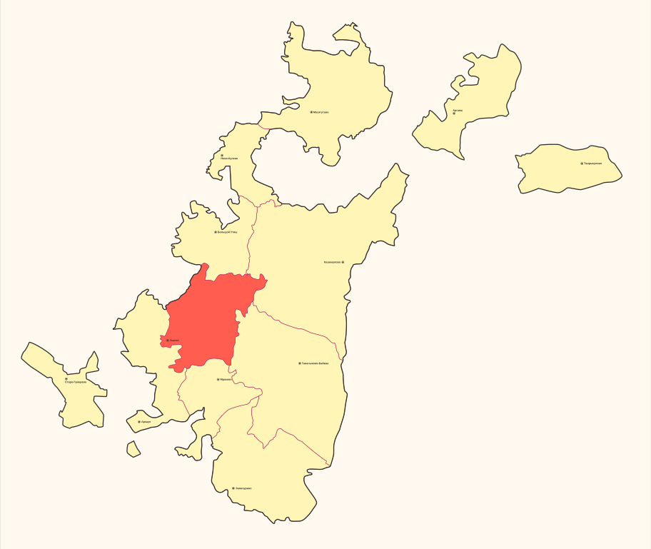
Русский: Карта Башкирской Автономной Советской Социалистической Республики на начало сентября 1919 года до объединения Кипчакского и Джетировского кантонов с выделением Юрматынского кантона |
| Date | |
| Source | Own work |
| Author | Helgo13 |
Licensing edit
I, the copyright holder of this work, hereby publish it under the following license:
| This file is made available under the Creative Commons CC0 1.0 Universal Public Domain Dedication. | |
| The person who associated a work with this deed has dedicated the work to the public domain by waiving all of their rights to the work worldwide under copyright law, including all related and neighboring rights, to the extent allowed by law. You can copy, modify, distribute and perform the work, even for commercial purposes, all without asking permission.
|
File history
Click on a date/time to view the file as it appeared at that time.
| Date/Time | Thumbnail | Dimensions | User | Comment | |
|---|---|---|---|---|---|
| current | 15:50, 28 June 2023 | | 2,457 × 2,070 (154 KB) | Барабас (talk | contribs) | Reverted to version as of 11:38, 12 May 2019 (UTC) |
| 14:23, 27 June 2023 |  | 2,457 × 2,070 (152 KB) | Барабас (talk | contribs) | Исправил границу Ккипчак-Джетировского и Юрматинского кантонов | |
| 11:38, 12 May 2019 |  | 2,457 × 2,070 (154 KB) | Helgo13 (talk | contribs) | Без фильтров | |
| 21:45, 11 May 2019 |  | 2,457 × 2,070 (154 KB) | Helgo13 (talk | contribs) | User created page with UploadWizard |
You cannot overwrite this file.
File usage on Commons
There are no pages that use this file.
File usage on other wikis
The following other wikis use this file:
- Usage on ru.wikipedia.org