File:Площадь Ленина - panoramio (15).jpg

Size of this preview: 800 × 600 pixels. Other resolutions: 320 × 240 pixels | 640 × 480 pixels | 1,024 × 768 pixels | 1,280 × 960 pixels | 2,048 × 1,536 pixels.
Original file (2,048 × 1,536 pixels, file size: 388 KB, MIME type: image/jpeg)
Captions
Captions
Add a one-line explanation of what this file represents
Summary edit
.jpg&action=edit§ion=1)
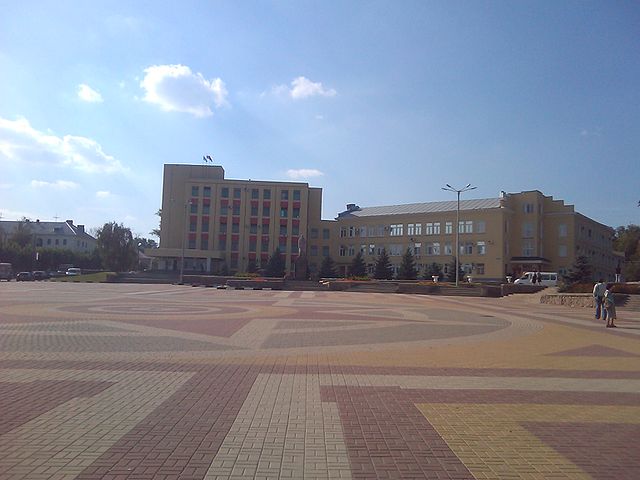
| Description | Площадь Ленина | ||
| Date | Taken on 23 September 2011 | ||
| Source | https://web.archive.org/web/20161020173443/http://www.panoramio.com/photo/59776122 | ||
| Author | Sr@b1ku$ | ||
| Permission (Reusing this file) |
This file is licensed under the Creative Commons Attribution 3.0 Unported license. Attribution: Sr@b1ku$
|
||
| Tags (from Panoramio photo page) | Liski |
| Camera location | | View this and other nearby images on: OpenStreetMap |
|---|
.jpg¶ms=050.987358_N_0039.497490_E_globe:Earth_type:camera_source:Panoramio_&language=en)
File history
Click on a date/time to view the file as it appeared at that time.
| Date/Time | Thumbnail | Dimensions | User | Comment | |
|---|---|---|---|---|---|
| current | 23:30, 14 December 2016 | | 2,048 × 1,536 (388 KB) | Panoramio upload bot (talk | contribs) | == {{int:filedesc}} == {{Information |description=Площадь Ленина |date={{Taken on|2011-09-23}} |source=http://www.panoramio.com/photo/59776122 |author=[http://www.panoramio.com/user/6296797?with_photo_id=59776122 Sr@b1ku$] |permission={{cc... |
You cannot overwrite this file.
File usage on Commons
The following page uses this file:
File usage on other wikis
The following other wikis use this file:
- Usage on ar.wikipedia.org
- Usage on az.wikipedia.org
- Usage on be-tarask.wikipedia.org
- Usage on be.wikipedia.org
- Usage on bg.wikipedia.org
- Usage on ca.wikipedia.org
- Usage on ce.wikipedia.org
- Usage on crh.wikipedia.org
- Usage on de.wikivoyage.org
- Usage on el.wikipedia.org
- Usage on eo.wikipedia.org
- Usage on he.wikipedia.org
- Usage on it.wikipedia.org
- Usage on no.wikipedia.org
- Usage on os.wikipedia.org
- Usage on pl.wikipedia.org
- Usage on pl.wikivoyage.org
- Usage on ro.wikipedia.org
- Usage on ru.wikipedia.org
- Usage on sr.wikipedia.org
- Usage on sv.wikipedia.org
- Usage on tt.wikipedia.org
- Usage on vep.wikipedia.org
- Usage on www.wikidata.org
- Usage on xal.wikipedia.org
- Usage on zh-min-nan.wikipedia.org
.jpg&oldid=875349804)