File:Седловина пер. Джевырылд - panoramio.jpg

Size of this preview: 800 × 374 pixels. Other resolutions: 320 × 150 pixels | 640 × 299 pixels | 1,024 × 479 pixels | 1,280 × 598 pixels | 2,560 × 1,197 pixels | 9,931 × 4,642 pixels.
Original file (9,931 × 4,642 pixels, file size: 10.33 MB, MIME type: image/jpeg)
Captions
Captions
Add a one-line explanation of what this file represents
Summary edit
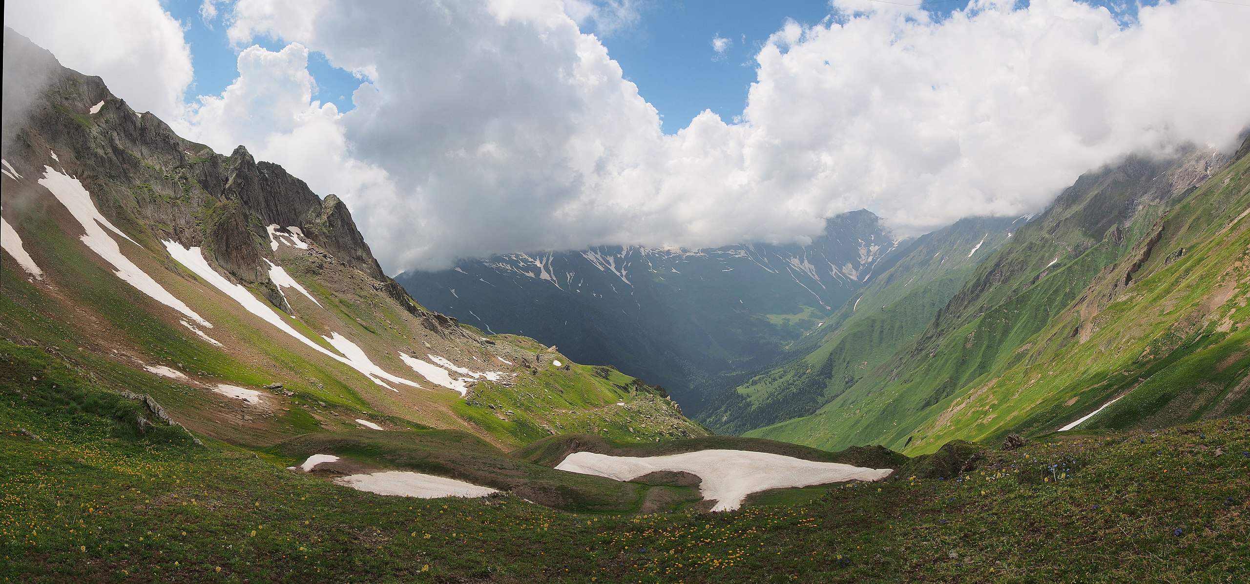
| Description | Седловина пер. Джевырылд | ||
| Date | Taken on 2 July 2014 | ||
| Source | https://web.archive.org/web/20161102022118/http://www.panoramio.com/photo/118093088 | ||
| Author | Andrew Dubok | ||
| Permission (Reusing this file) |
This file is licensed under the Creative Commons Attribution-Share Alike 3.0 Unported license. Attribution: Andrew Dubok
|
||
| Panoramio Tags | Racha-Lechkhumi and Lower Svaneti, 2014, Georgia, Hike, Mountains, Pass, Svaneti, Tourism, www.tkg.org.ua, Горы, Грузия, Кавказ, Перевал, поход, природа, Рача-Лечхуми и Квемо-Сванети, Чижди |
| Camera location | | View this and other nearby images on: OpenStreetMap |
|---|
File history
Click on a date/time to view the file as it appeared at that time.
| Date/Time | Thumbnail | Dimensions | User | Comment | |
|---|---|---|---|---|---|
| current | 06:47, 31 May 2017 | | 9,931 × 4,642 (10.33 MB) | Panoramio upload bot (talk | contribs) | == {{int:filedesc}} == {{Information |description=Седловина пер. Джевырылд |date={{Taken on|2014-07-02}} |source=http://www.panoramio.com/photo/118093088 |author=[http://www.panoramio.com/user/121206?with_photo_id=118093088 Andrew... |
You cannot overwrite this file.
File usage on Commons
There are no pages that use this file.