File:三国行政区划-五丈原.png
No higher resolution available.
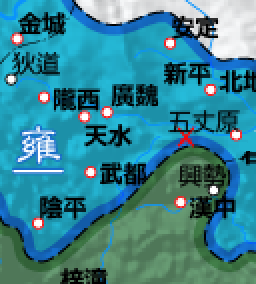
三国行政区划-五丈原.png (256 × 284 pixels, file size: 39 KB, MIME type: image/png)
Captions
Captions
Add a one-line explanation of what this file represents
Summary edit
| Description |
中文(香港):Modified map from File:三国行政区划(繁).png |
| Date | |
| Source | Own work,中国文化大学版《中国历史地图集》、三國時期行政區劃圖.png: Jason22 |
| Author | 玖巧仔 |
.png)

|
File:三国行政区划-五丈原.svg is a vector version of this file. It should be used in place of this PNG file when not inferior.
File:三国行政区划-五丈原.png → File:三国行政区划-五丈原.svg
For more information, see Help:SVG. |
 |
Licensing edit
I, the copyright holder of this work, hereby publish it under the following license:
This file is licensed under the Creative Commons Attribution-Share Alike 3.0 Unported license.
- You are free:
- to share – to copy, distribute and transmit the work
- to remix – to adapt the work
- Under the following conditions:
- attribution – You must give appropriate credit, provide a link to the license, and indicate if changes were made. You may do so in any reasonable manner, but not in any way that suggests the licensor endorses you or your use.
- share alike – If you remix, transform, or build upon the material, you must distribute your contributions under the same or compatible license as the original.
File history
Click on a date/time to view the file as it appeared at that time.
| Date/Time | Thumbnail | Dimensions | User | Comment | |
|---|---|---|---|---|---|
| current | 06:58, 3 January 2012 | | 256 × 284 (39 KB) | Tomchiukc (talk | contribs) |
You cannot overwrite this file.
File usage on Commons
The following page uses this file: