File:日本地図.png
No higher resolution available.
日本地図.png (300 × 331 pixels, file size: 6 KB, MIME type: image/png)
Captions
Captions
Add a one-line explanation of what this file represents
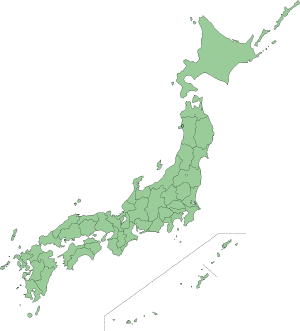
都道府県の県境線が記載されている日本地図。2007年3月12日、投稿者自身による制作。
| I, the copyright holder of this work, release this work into the public domain. This applies worldwide. In some countries this may not be legally possible; if so: I grant anyone the right to use this work for any purpose, without any conditions, unless such conditions are required by law. |
File history
Click on a date/time to view the file as it appeared at that time.
| Date/Time | Thumbnail | Dimensions | User | Comment | |
|---|---|---|---|---|---|
| current | 07:26, 12 March 2007 | | 300 × 331 (6 KB) | Kk megumi (talk | contribs) | 都道府県の県境線が記載されている日本地図。2007年3月12日、投稿者自身による制作。 {{PD}} |
You cannot overwrite this file.
File usage on Commons
There are no pages that use this file.
File usage on other wikis
The following other wikis use this file:
- Usage on ja.wikipedia.org
- Usage on www.wikidata.org