File:040i mcclellan kerr.jpg

Size of this preview: 800 × 600 pixels. Other resolutions: 320 × 240 pixels | 640 × 480 pixels | 1,024 × 768 pixels | 1,280 × 960 pixels | 1,656 × 1,242 pixels.
Original file (1,656 × 1,242 pixels, file size: 583 KB, MIME type: image/jpeg)
Captions
Captions
Add a one-line explanation of what this file represents
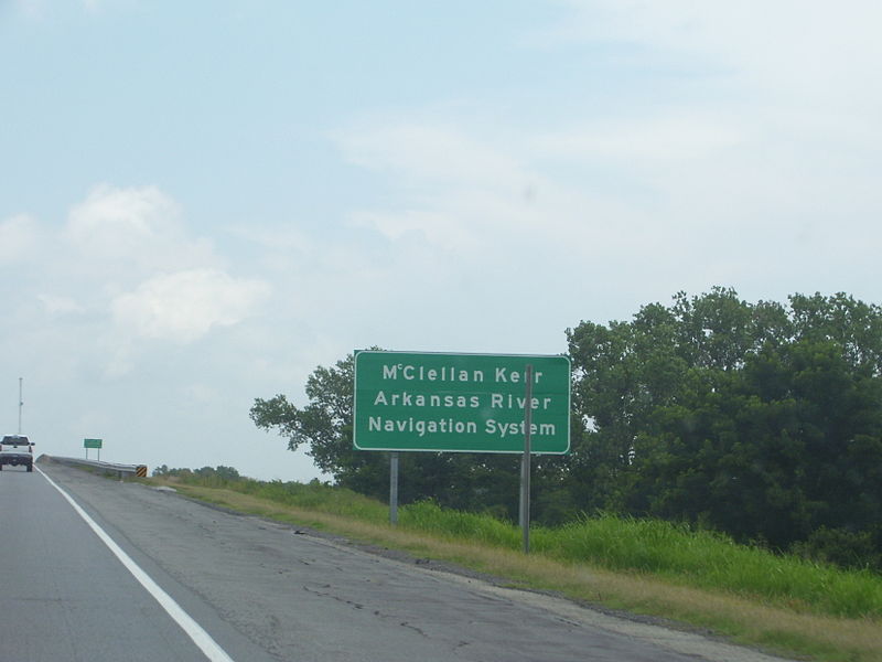
| Description | Signage for the McClellan-Kerr Arkansas River Navigation System on I-40 in eastern Oklahoma. |
| Date | |
| Source | Own work |
| Author | Scott5114 |
This file is licensed under the Creative Commons Attribution-Share Alike 2.5 Generic license.
- You are free:
- to share – to copy, distribute and transmit the work
- to remix – to adapt the work
- Under the following conditions:
- attribution – You must give appropriate credit, provide a link to the license, and indicate if changes were made. You may do so in any reasonable manner, but not in any way that suggests the licensor endorses you or your use.
- share alike – If you remix, transform, or build upon the material, you must distribute your contributions under the same or compatible license as the original.
File history
Click on a date/time to view the file as it appeared at that time.
| Date/Time | Thumbnail | Dimensions | User | Comment | |
|---|---|---|---|---|---|
| current | 04:19, 22 September 2007 | | 1,656 × 1,242 (583 KB) | Scott5114 (talk | contribs) | {{Information |Description=Signage for the McClellan-Kerr Arkansas River Navigation System on I-40 in eastern Oklahoma. |Source=self-made |Date=2007-07-09 |Author= Scott5114 }} {{CC-BY-SA-2.5}} Category:Road signs in Oklahoma |
You cannot overwrite this file.
File usage on Commons
The following 2 pages use this file: