File:1080x1837-Hauts-de-Seine-R.jpg
Size of this preview: 352 × 599 pixels. Other resolutions: 141 × 240 pixels | 282 × 480 pixels | 451 × 768 pixels | 1,080 × 1,837 pixels.
Original file (1,080 × 1,837 pixels, file size: 174 KB, MIME type: image/jpeg)
Captions
Captions
Add a one-line explanation of what this file represents
Summary edit

Licensing edit
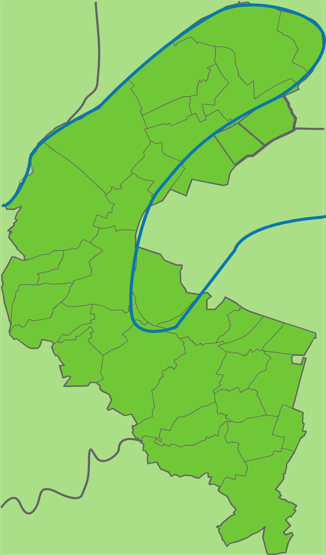
The map has been created with the Generic Mapping Tools: https://www.generic-mapping-tools.org/ using one or more of these public-domain datasets for the relief:
|

|
Permission is granted to copy, distribute and/or modify this document under the terms of the GNU Free Documentation License, Version 1.2 or any later version published by the Free Software Foundation; with no Invariant Sections, no Front-Cover Texts, and no Back-Cover Texts. A copy of the license is included in the section entitled GNU Free Documentation License. |
File history
Click on a date/time to view the file as it appeared at that time.
| Date/Time | Thumbnail | Dimensions | User | Comment | |
|---|---|---|---|---|---|
| current | 08:52, 4 December 2010 | | 1,080 × 1,837 (174 KB) | Wikisoft* (talk | contribs) | {{Information |Description={{fr|1=*Carte Haut-de-Seine (Relief)}} |Source=~~~~ |Author=~~~~ |Date=~~~~ |Permission={{GFDL-GMT}} |other_versions=fr:Modèle:Géolocalisation/Haut-de-Seine }} Category:Maps of Haut-de-Seine |
You cannot overwrite this file.
File usage on Commons
The following page uses this file:
File usage on other wikis
The following other wikis use this file:
- Usage on pl.wikibooks.org
- Usage on ru.wikipedia.org