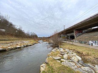
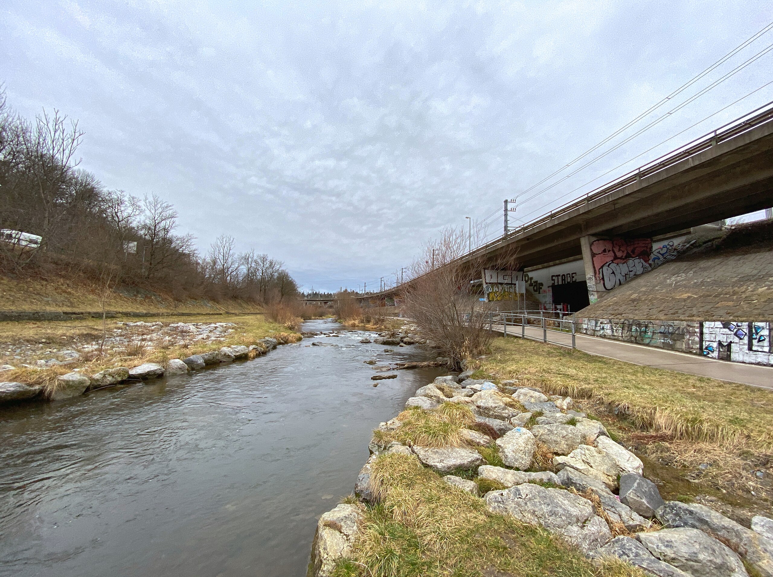
File:1130 Wien, Wienfluss Höhe Halterbach 02 2021-12-30.jpg

Size of this preview: 800 × 597 pixels. Other resolutions: 320 × 239 pixels | 640 × 478 pixels | 1,024 × 764 pixels | 1,280 × 956 pixels | 2,560 × 1,911 pixels | 4,008 × 2,992 pixels.
Original file (4,008 × 2,992 pixels, file size: 10.59 MB, MIME type: image/jpeg)
Captions
Captions
Add a one-line explanation of what this file represents
Summary edit
| Description |
Deutsch: Der Wienfluss auf Höhe des Zusammenflusses mit dem Halterbach |
| Date | |
| Source | Own work |
| Author | Hangman'sDeath |
| Camera location | | View this and other nearby images on: OpenStreetMap |
|---|
Because the iPhone is a sh**y device the EXIF data is highly inaccurate. EXIF data corrected with Shotwell 0.30.11 *happy penguin noises*
The time spent correcting this says: "Thanks f***ing Apple!"
Licensing edit
| This file is made available under the Creative Commons CC0 1.0 Universal Public Domain Dedication. | |
| The person who associated a work with this deed has dedicated the work to the public domain by waiving all of their rights to the work worldwide under copyright law, including all related and neighboring rights, to the extent allowed by law. You can copy, modify, distribute and perform the work, even for commercial purposes, all without asking permission.
|
File history
Click on a date/time to view the file as it appeared at that time.
| Date/Time | Thumbnail | Dimensions | User | Comment | |
|---|---|---|---|---|---|
| current | 12:59, 4 March 2022 | | 4,008 × 2,992 (10.59 MB) | Hangman'sDeath (talk | contribs) | Apple devices suck monkey balls! (wrong EXIF info, fixed with Shotwell 0.30.11) |
| 11:37, 11 January 2022 |  | 4,008 × 2,992 (10.59 MB) | Hangman'sDeath (talk | contribs) | Uploaded a work by Hangman'sDeath from {{own work}} with UploadWizard |
You cannot overwrite this file.
File usage on Commons
There are no pages that use this file.