File:1608 17 Flandria Comitatus Kaerius.jpg

Size of this preview: 800 × 551 pixels. Other resolutions: 320 × 220 pixels | 640 × 441 pixels | 1,024 × 705 pixels | 1,280 × 881 pixels | 1,500 × 1,033 pixels.
Original file (1,500 × 1,033 pixels, file size: 583 KB, MIME type: image/jpeg)
Captions
Captions
Add a one-line explanation of what this file represents
Summary edit
| Description |
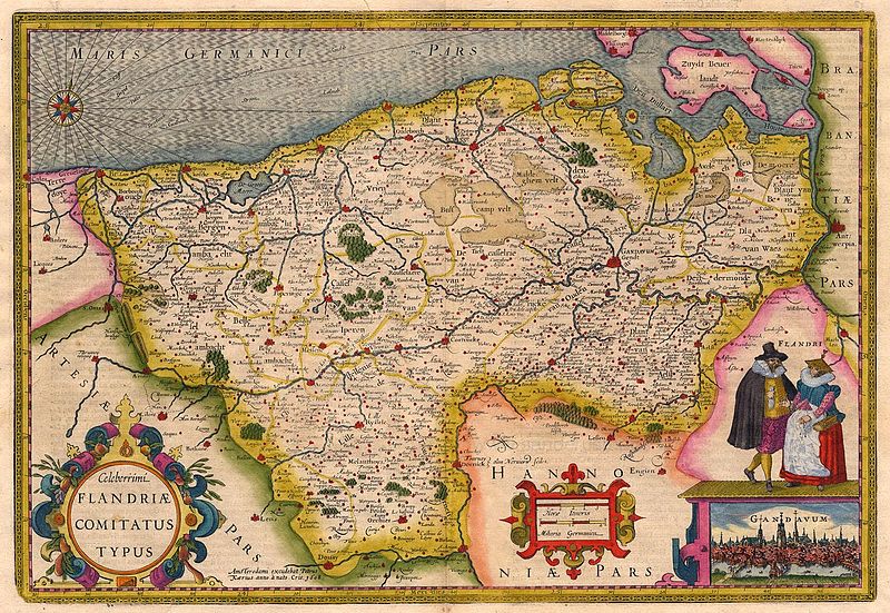
Nederlands: Kaart van het graafschap Vlaanderen |
|||||||||||||||||||||||||
| Date | ||||||||||||||||||||||||||
| Source | Sanderusmaps 18596 | |||||||||||||||||||||||||
| Author |
|
|||||||||||||||||||||||||
| Other versions | Sanderusmaps 15817 | |||||||||||||||||||||||||
België; Vlaanderen
Licensing edit
|
This work is in the public domain in its country of origin and other countries and areas where the copyright term is the author's life plus 100 years or fewer. This work is in the public domain in the United States because it was published (or registered with the U.S. Copyright Office) before January 1, 1929. | |
| This file has been identified as being free of known restrictions under copyright law, including all related and neighboring rights. | |
File history
Click on a date/time to view the file as it appeared at that time.
| Date/Time | Thumbnail | Dimensions | User | Comment | |
|---|---|---|---|---|---|
| current | 09:41, 16 December 2010 | | 1,500 × 1,033 (583 KB) | Joopr (talk | contribs) | {{Information |Description={{nl|1=Kaart van het graafschap Vlaanderen}} |Source=Sanderusmaps # 18596 |Author=Pieter v d Keere; Petrus Kaerius |Date=1608 |Permission= |other_versions=Sanderusmaps # 15817 }} België; Vlaanderen Category:Old maps [[Categ |
You cannot overwrite this file.
File usage on Commons
There are no pages that use this file.
File usage on other wikis
The following other wikis use this file:
- Usage on nl.wikipedia.org