File:1855 Colton Map of India or Hindostan - Geographicus - India-cbl-1855.jpg

Size of this preview: 499 × 600 pixels. Other resolutions: 200 × 240 pixels | 399 × 480 pixels | 639 × 768 pixels | 852 × 1,024 pixels | 2,495 × 3,000 pixels.
Original file (2,495 × 3,000 pixels, file size: 2.23 MB, MIME type: image/jpeg)
Captions
Captions
Add a one-line explanation of what this file represents
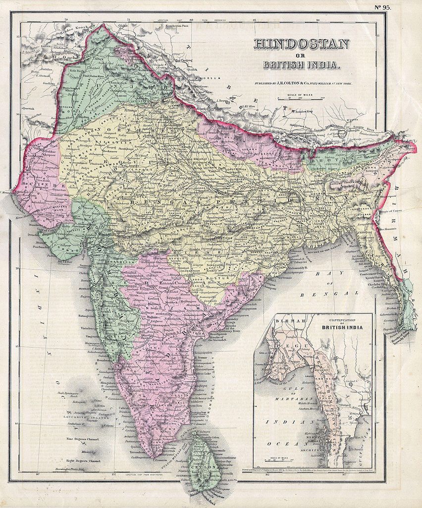
| J. H. Colton: India or Hindostan.
( |
|||||||||||||||||||||
|---|---|---|---|---|---|---|---|---|---|---|---|---|---|---|---|---|---|---|---|---|---|
| Artist |
|
||||||||||||||||||||
| Title |
India or Hindostan. |
||||||||||||||||||||
| Description |
English: This hand colored map of India or Hindostan is a steel plate engraving, dating to 1855 by the well regarded mid 19th century American cartographer Colton. Map depicts most of what is today modern India and what was, when this map was made, British India. Also includes the province of Pegu or what is now Burma / Myanmar. |
||||||||||||||||||||
| Date | 1855 | ||||||||||||||||||||
| Dimensions | height: 16 in (40.6 cm); width: 13 in (33 cm) | ||||||||||||||||||||
| Accession number |
Geographicus link: India-cbl-1855 |
||||||||||||||||||||
| Source/Photographer |
|
||||||||||||||||||||
| Permission (Reusing this file) |
|
||||||||||||||||||||

File history
Click on a date/time to view the file as it appeared at that time.
| Date/Time | Thumbnail | Dimensions | User | Comment | |
|---|---|---|---|---|---|
| current | 08:04, 16 March 2011 | | 2,495 × 3,000 (2.23 MB) | BotMultichill (talk | contribs) | {{subst:User:Multichill/Geographicus |link=http://www.geographicus.com/P/AntiqueMap/India-cbl-1855 |product_name=1855 Colton Map of India or Hindostan |map_title=India or Hindostan. |description=This hand colored map of India or Hindostan is a steel plate |
You cannot overwrite this file.
File usage on Commons
The following page uses this file: