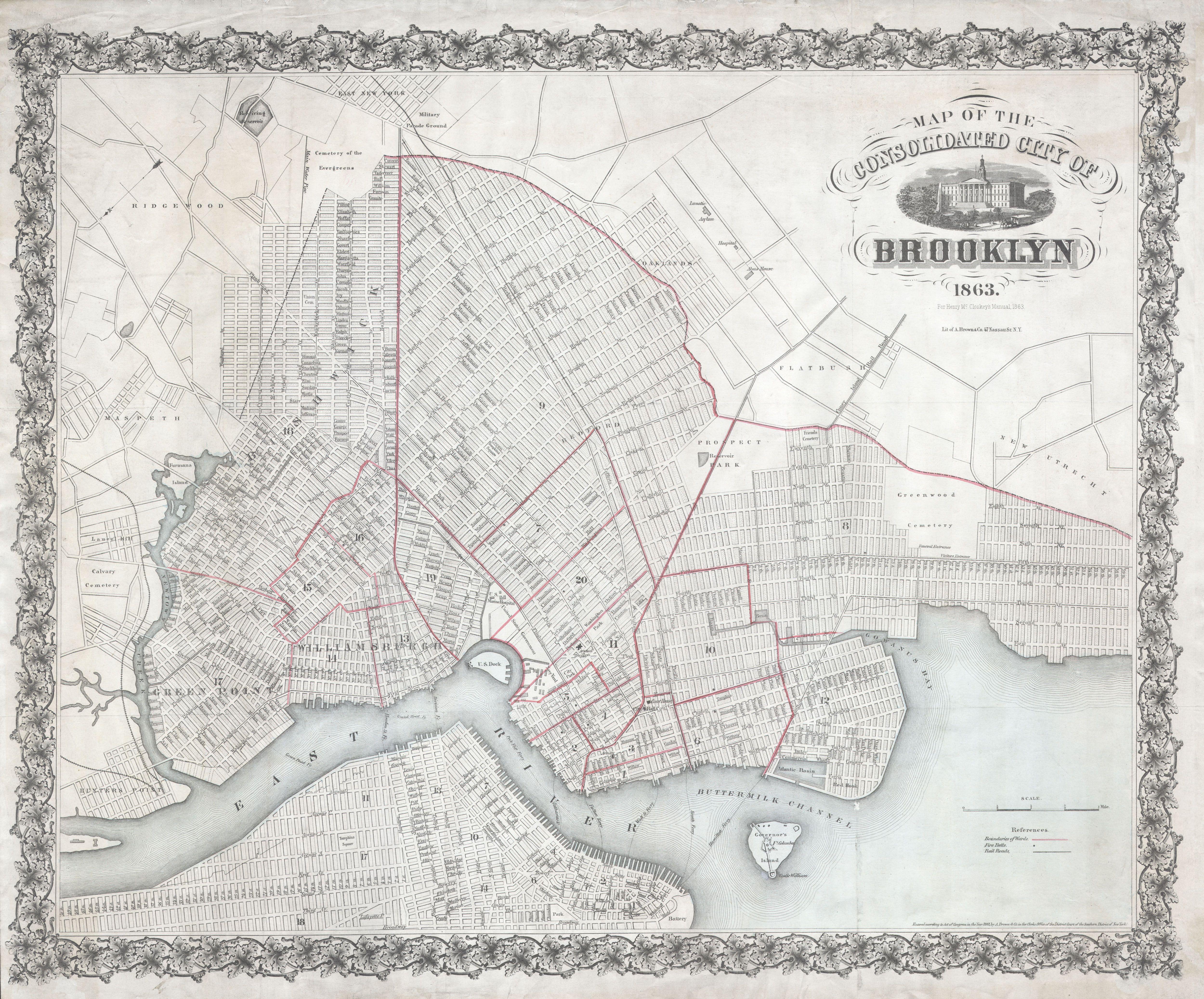
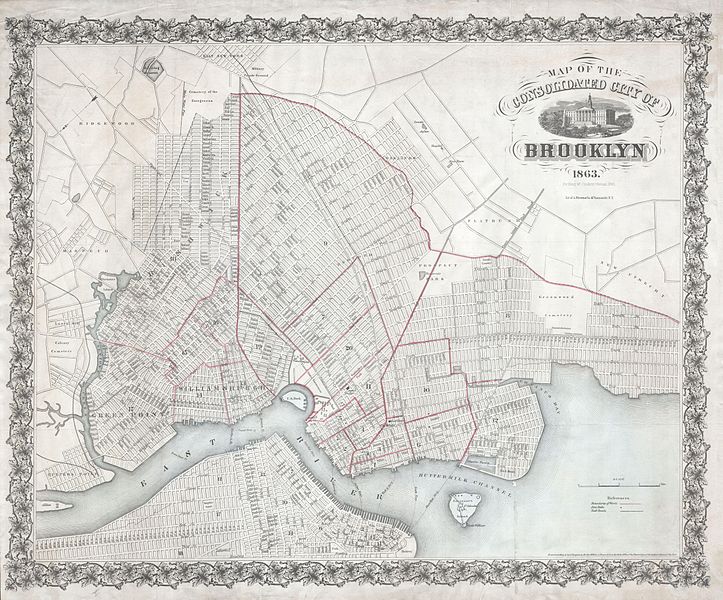
File:1863 McCloskey Pocket Map of Brooklyn, New York - Geographicus - Brooklyn-mccloskey-1863.jpg
Original file (5,000 × 4,149 pixels, file size: 4.16 MB, MIME type: image/jpeg)
Captions
Captions
| Map of the Consolidated City of Brooklyn. | ||||||
|---|---|---|---|---|---|---|
| Artist | ||||||
| Title |
Map of the Consolidated City of Brooklyn. |
|||||
| Description |
English: An extremely rare first edition of Henry McCloskey’s 1863 pocket map of the city of Brooklyn, New York. In the mid 19th century, fueled by the advent of the steam ferry, which made crossing the East River practical, Kings County experienced an massive population burst. Wealthy and poor alike were quick to abandon the dirty and claustrophobic Manhattan for then suburban lands just across the East River. In 1855 the communities of Brooklyn, Greenpoint, Bushwick and Williamsburg were consolidated by the State of New York into one large city, modern day Brooklyn. It was around this time that the term “Kings County” began to fall out of popular usage in favor of “Brooklyn”. By 1865, two years after this map was printed, Brooklyn had become the third largest city in America, following New York and Philadelphia. Here Brooklyn is revealed in the midst of this incredible development. Prospect Park, which was still being built, is shown, as is Greenwood cemetery. The street layout, mimicking the grid system of Manhattan, is shown in considerable detail. Attemptes to detail important buildings, ferry crossings, bridges, train lines, and “plank roads.” Also notes public buildings and lands such as the Lunatic Asylum, the Hospital, the Alms House, the Military Parade Grounds, the Marine Hospital and the Navy Yard. Manhattan appears in the lower left hand corner of the map. North is oriented to the lower left. The whole is surrounding by a decorative vine and leave border. This map was drawn by A. Brown of 47 Nassau Street, New York, for inclusion in Henry McCloskey’s 1863 Manual of the City and Corporation of Brooklyn. Cartographically this map references and expands upon the 1846 map of Brooklyn surveyed and prepared by Richard Butt. The only other copy of this map we have been able to identify is in the collection of the Brooklyn Public Library. Ours is in superior condition. |
|||||
| Date | 1863 (dated) | |||||
| Dimensions | height: 20 in (50.8 cm); width: 25 in (63.5 cm) | |||||
| Accession number |
Geographicus link: Brooklyn-mccloskey-1863 |
|||||
| Source/Photographer |
|
|||||
| Permission (Reusing this file) |
|
|||||
File history
Click on a date/time to view the file as it appeared at that time.
| Date/Time | Thumbnail | Dimensions | User | Comment | |
|---|---|---|---|---|---|
| current | 08:21, 24 March 2011 | | 5,000 × 4,149 (4.16 MB) | BotMultichillT (talk | contribs) | {{subst:User:Multichill/Geographicus |link=http://www.geographicus.com/P/AntiqueMap/Brooklyn-mccloskey-1863 |product_name=1863 McCloskey Pocket Map of Brooklyn, New York |map_title=Map of the Consolidated City of Brooklyn. |description=An extremely rare f |
You cannot overwrite this file.
File usage on Commons
The following page uses this file: