File:1864 Johnson's Map of New England (Vermont, New Hampshire, Massachusetts, Rhode Island and CT) - Geographicus - VTNHMACTRI-j-64.jpg
Size of this preview: 412 × 599 pixels. Other resolutions: 165 × 240 pixels | 330 × 480 pixels | 528 × 768 pixels | 704 × 1,024 pixels | 2,063 × 3,000 pixels.
Original file (2,063 × 3,000 pixels, file size: 2.07 MB, MIME type: image/jpeg)
Captions
Captions
Add a one-line explanation of what this file represents
| Alvin Jewett Johnson: Johnson’s Vermont, New Hampshire, Massachusetts, Rhode Island, and Connecticut
( |
|||||||||||||||||||||||
|---|---|---|---|---|---|---|---|---|---|---|---|---|---|---|---|---|---|---|---|---|---|---|---|
| Artist |
|
||||||||||||||||||||||
| Title |
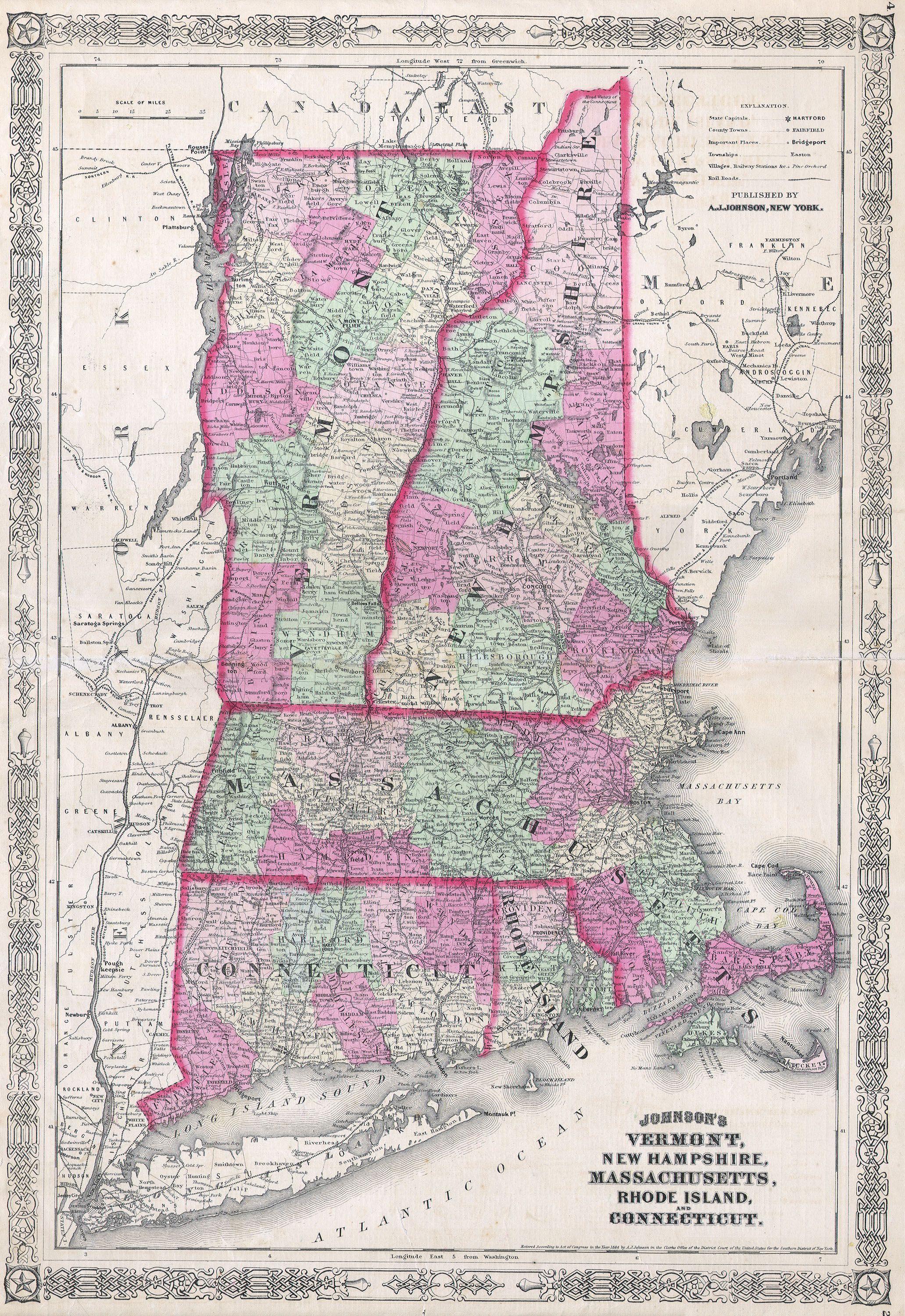
Johnson’s Vermont, New Hampshire, Massachusetts, Rhode Island, and Connecticut |
||||||||||||||||||||||
| Description |
English: This magnificent 1864 hand colored map of the New England states of Vermont, New Hampshire, Massachusetts, Rhode Island, and Connecticut. Map is dated and copyrighted 1864. |
||||||||||||||||||||||
| Date | 1864 | ||||||||||||||||||||||
| Dimensions | height: 15 in (38.1 cm); width: 22 in (55.8 cm) | ||||||||||||||||||||||
| Accession number |
Geographicus link: VTNHMACTRI-j-64 |
||||||||||||||||||||||
| Source/Photographer |
|
||||||||||||||||||||||
| Permission (Reusing this file) |
|
||||||||||||||||||||||
File history
Click on a date/time to view the file as it appeared at that time.
| Date/Time | Thumbnail | Dimensions | User | Comment | |
|---|---|---|---|---|---|
| current | 08:27, 16 March 2011 | | 2,063 × 3,000 (2.07 MB) | BotMultichill (talk | contribs) | {{subst:User:Multichill/Geographicus |link=http://www.geographicus.com/P/AntiqueMap/VTNHMACTRI-j-64 |product_name=1864 Johnson's Map of New England (Vermont, New Hampshire, Massachusetts, Rhode Island and CT) |map_title=Johnson’s Vermont, New Hampshire, |
You cannot overwrite this file.
File usage on Commons
The following page uses this file:
_-_Geographicus_-_VTNHMACTRI-j-64.jpg)
_-_Geographicus_-_VTNHMACTRI-j-64.jpg&oldid=745874057)