File:1874 Mitchell Map of Australia, Polynesia and Hawaii - Geographicus - Polynesia-m-1874.jpg

Size of this preview: 738 × 600 pixels. Other resolutions: 296 × 240 pixels | 591 × 480 pixels | 946 × 768 pixels | 1,261 × 1,024 pixels | 2,521 × 2,048 pixels | 3,000 × 2,437 pixels.
Original file (3,000 × 2,437 pixels, file size: 2.4 MB, MIME type: image/jpeg)
Captions
Captions
Add a one-line explanation of what this file represents
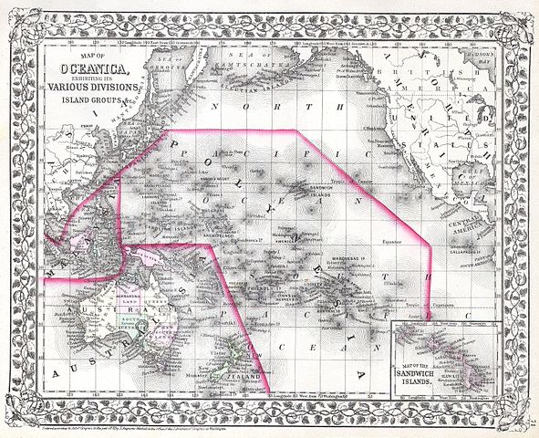
| Samuel Augustus Mitchell: Map of Oceanica, Exhibiting its Various Divisions, Island Groups & c.
( |
||||||||||||||||||||
|---|---|---|---|---|---|---|---|---|---|---|---|---|---|---|---|---|---|---|---|---|
| Artist |
|
|||||||||||||||||||
| Title |
Map of Oceanica, Exhibiting its Various Divisions, Island Groups & c. |
|||||||||||||||||||
| Description |
English: This hand colored map is a lithographic engraving, dating to 1874 by the legendary American Mapmaker S.A. Mitchell, the younger. Depicts All of Polynesia, Melanesia and Malaysia. Inset map depicts the Sandwich Islands or as the group is now known, Hawaii. Dated and copyrighted 1874. |
|||||||||||||||||||
| Date | 1874 | |||||||||||||||||||
| Dimensions | height: 11 in (27.9 cm); width: 14 in (35.5 cm) | |||||||||||||||||||
| Accession number |
Geographicus link: Polynesia-m-1874 |
|||||||||||||||||||
| Source/Photographer |
|
|||||||||||||||||||
| Permission (Reusing this file) |
|
|||||||||||||||||||
File history
Click on a date/time to view the file as it appeared at that time.
| Date/Time | Thumbnail | Dimensions | User | Comment | |
|---|---|---|---|---|---|
| current | 10:14, 16 March 2011 | | 3,000 × 2,437 (2.4 MB) | BotMultichill (talk | contribs) | {{subst:User:Multichill/Geographicus |link=http://www.geographicus.com/P/AntiqueMap/Polynesia-m-1874 |product_name=1874 Mitchell Map of Australia, Polynesia and Hawaii |map_title=Map of Oceanica, Exhibiting its Various Divisions, Island Groups & c. |des |
You cannot overwrite this file.
File usage on Commons
The following page uses this file: