File:1932 Electoral Map.png
Size of this preview: 800 × 430 pixels. Other resolutions: 320 × 172 pixels | 640 × 344 pixels | 1,182 × 635 pixels.
Original file (1,182 × 635 pixels, file size: 169 KB, MIME type: image/png)
Captions
Captions
Add a one-line explanation of what this file represents

|
File:1932 electoral map.svg is a vector version of this file. It should be used in place of this PNG file when not inferior.
File:1932 Electoral Map.png → File:1932 electoral map.svg
For more information, see Help:SVG. |
 |
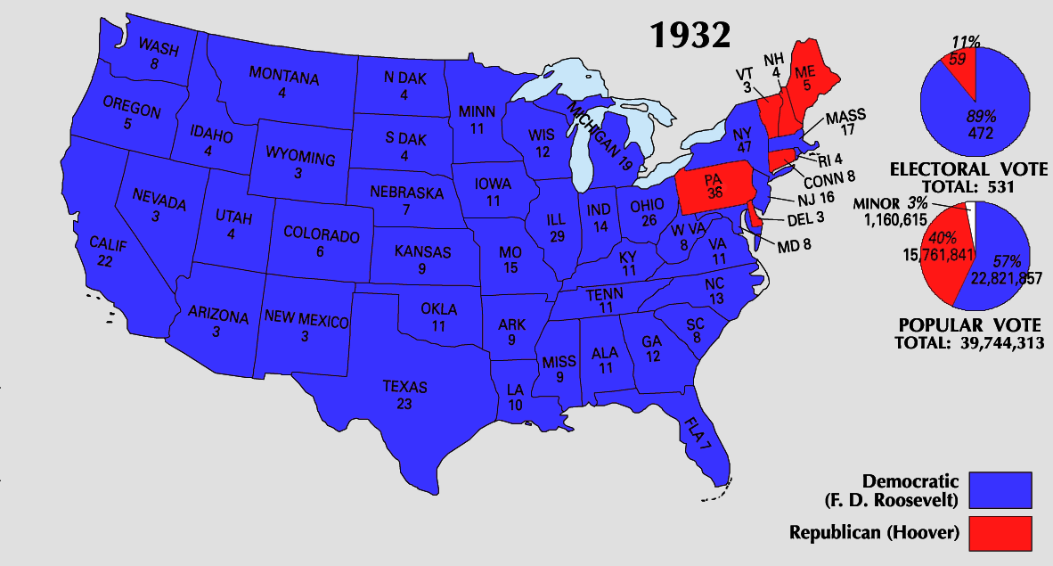
This map was obtained from an edition of the National Atlas of the United States. Like almost all works of the U.S. federal government, works from the National Atlas are in the public domain in the United States.
Online access: NationalAtlas.gov | 1970 print edition: Library of Congress, Perry-Castañeda Library
|
| U.S. presidential election maps from the National Atlas of the United States |
| See also: SVG maps |
| 1789 · 1792 · 1796 · 1800 · 1804 · 1808 · 1812 · 1816 · 1820 · 1824 · 1828 · 1832 · 1836 · 1840 · 1844 · 1848 · 1852 · 1856 · 1860 · 1864 · 1868 · 1872 · 1876 · 1880 · 1884 · 1888 · 1892 · 1896 · 1900 · 1904 · 1908 · 1912 · 1916 · 1920 · 1924 · 1928 · 1932 · 1936 · 1940 · 1944 · 1948 · 1952 · 1956 · 1960 · 1964 · 1968 · 1972 · 1976 · 1980 · 1984 · 1988 · 1992 · 1996 · 2000 · 2004 |
File history
Click on a date/time to view the file as it appeared at that time.
| Date/Time | Thumbnail | Dimensions | User | Comment | |
|---|---|---|---|---|---|
| current | 22:09, 25 June 2008 | | 1,182 × 635 (169 KB) | Tallicfan20 (talk | contribs) | better |
| 21:03, 11 June 2008 |  | 1,182 × 635 (147 KB) | Tallicfan20 (talk | contribs) | ||
| 08:56, 24 May 2008 |  | 1,182 × 635 (136 KB) | Tallicfan20 (talk | contribs) | better colors | |
| 19:21, 16 May 2008 |  | 1,182 × 635 (96 KB) | Tallicfan20 (talk | contribs) | ||
| 19:19, 16 May 2008 |  | 1,182 × 635 (96 KB) | Tallicfan20 (talk | contribs) | {{PD-USGov-Atlas}} |
You cannot overwrite this file.
File usage on Commons
The following 2 pages use this file:
File usage on other wikis
The following other wikis use this file:
- Usage on de.wikipedia.org
- Usage on en.wikipedia.org
- Usage on hu.wikipedia.org
- Usage on it.wikipedia.org