File:2004 Alaska fire season map.jpg

Size of this preview: 737 × 600 pixels. Other resolutions: 295 × 240 pixels | 590 × 480 pixels | 944 × 768 pixels | 1,258 × 1,024 pixels | 2,516 × 2,048 pixels | 3,096 × 2,520 pixels.
Original file (3,096 × 2,520 pixels, file size: 1.67 MB, MIME type: image/jpeg)
Captions
Captions
Add a one-line explanation of what this file represents
Summary edit
| Description |
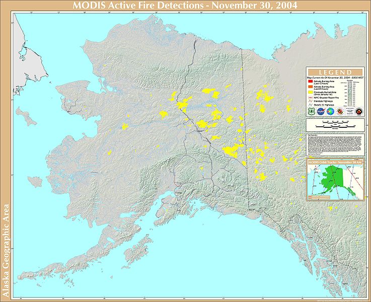
English: A map of wildfires in Alaska and the Yukon Territory during 2004, created by various U.S. governmental agencies. |
| Date | |
| Source | National Climactic Data Center |
| Author | USDA Forest Service Remote Sensing Applications Center |
Licensing edit
This image is in the public domain because it contains materials that originally came from the U.S. National Oceanic and Atmospheric Administration, taken or made as part of an employee's official duties.
|
File history
Click on a date/time to view the file as it appeared at that time.
| Date/Time | Thumbnail | Dimensions | User | Comment | |
|---|---|---|---|---|---|
| current | 22:28, 9 February 2009 | | 3,096 × 2,520 (1.67 MB) | JKBrooks85 (talk | contribs) | {{Information |Description={{en|1=A map of wildfires in Alaska and the Yukon Territory during 2004, created by various U.S. governmental agencies.}} |Source=National Climactic Data Center |Author=USDA Forest Service Remote Sensing Applications Center |Dat |
You cannot overwrite this file.
File usage on Commons
There are no pages that use this file.
File usage on other wikis
The following other wikis use this file:
- Usage on en.wikipedia.org