File:2006-07-24 Suedwestkorso.jpg

Size of this preview: 800 × 600 pixels. Other resolutions: 320 × 240 pixels | 640 × 480 pixels | 1,024 × 768 pixels | 1,280 × 960 pixels | 2,048 × 1,536 pixels.
Original file (2,048 × 1,536 pixels, file size: 690 KB, MIME type: image/jpeg)
Captions
Captions
Add a one-line explanation of what this file represents
Summary edit
| Camera location | | View this and other nearby images on: OpenStreetMap |
|---|
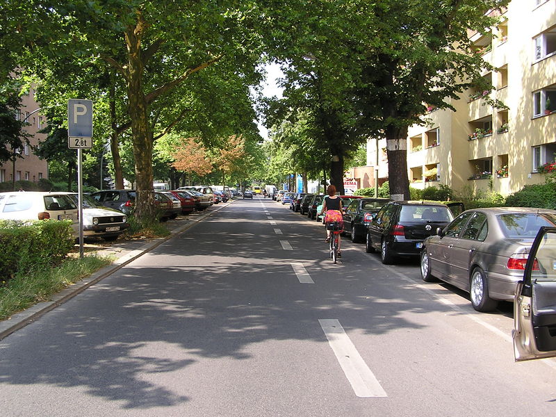
| Description | Berlin, Südwestkorso in Höhe Bonner Straße |
| Date | |
| Source | Own work |
| Author | Axel Mauruszat |
| Other versions |
.jpg)
Licensing edit

|
The copyright holder of this file allows anyone to use it for any purpose, provided that the copyright holder is properly attributed. Redistribution, derivative work, commercial use, and all other use is permitted. |
|
|
File history
Click on a date/time to view the file as it appeared at that time.
| Date/Time | Thumbnail | Dimensions | User | Comment | |
|---|---|---|---|---|---|
| current | 14:00, 24 July 2006 | | 2,048 × 1,536 (690 KB) | Axel.Mauruszat (talk | contribs) | {{Information |Description=Berlin, Südwestkorso in Höhe Bonner Straße |Source=eigenes Werk |Date=2006-07-24 |Author=Axel Mauruszat |Permission= |other_versions= }} |
You cannot overwrite this file.
File usage on Commons
The following 3 pages use this file:
File usage on other wikis
The following other wikis use this file:
- Usage on de.wikipedia.org