File:20090401.Leubnitzbach.Koitschgraben.Grunaer Landgraben.-02.jpg

Size of this preview: 793 × 600 pixels. Other resolutions: 317 × 240 pixels | 635 × 480 pixels | 1,015 × 768 pixels | 1,280 × 968 pixels | 2,560 × 1,937 pixels | 4,760 × 3,601 pixels.
Original file (4,760 × 3,601 pixels, file size: 5.44 MB, MIME type: image/jpeg)
Captions
Captions
Add a one-line explanation of what this file represents
Summary edit
| Description |
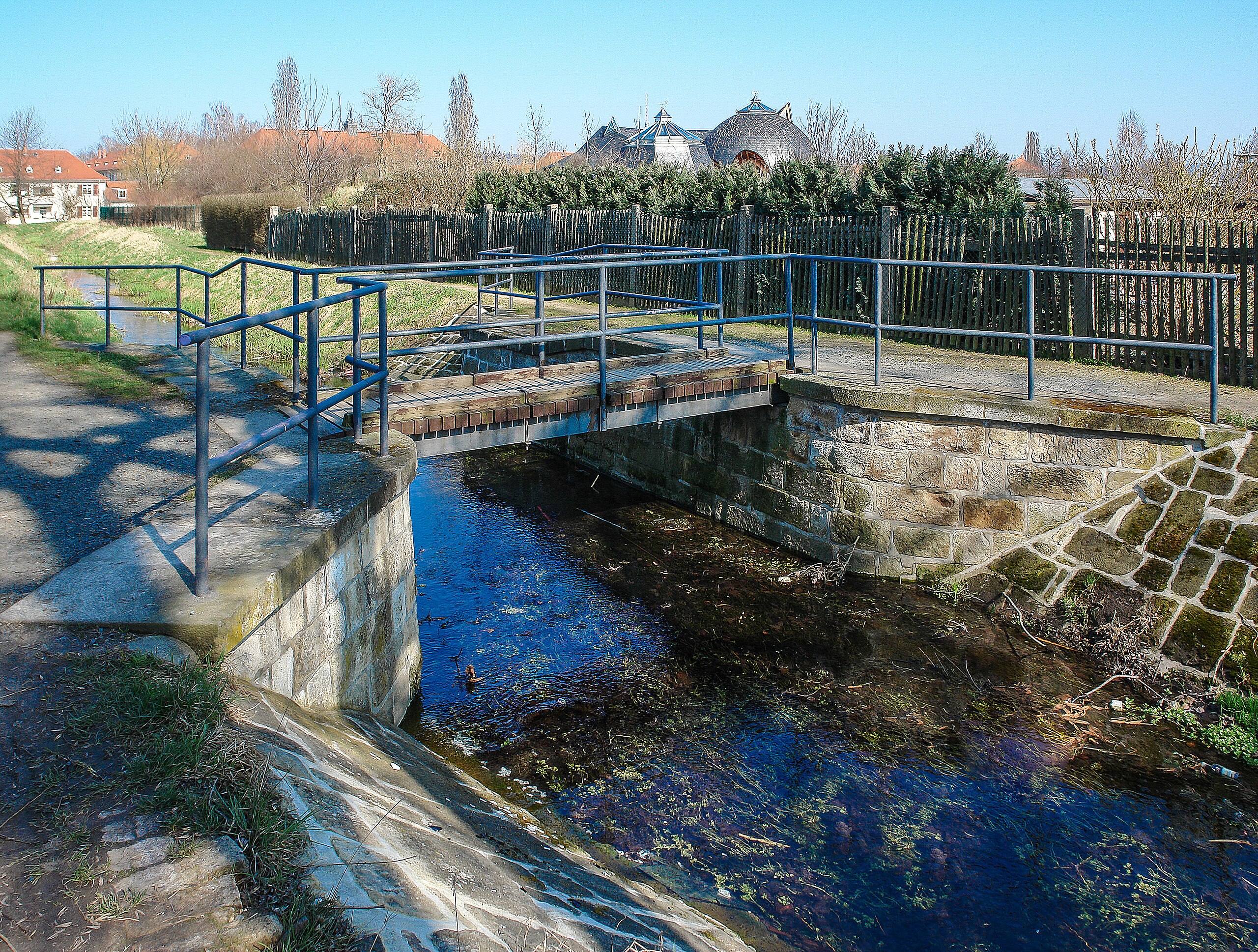
Deutsch: Der Leubnitzbach, ist ein linker Nebenfluss der Elbe im südlichen Stadtgebiet von Dresden. dann wird es der Koitschgraben und schließlich der Blasewitz-Grunaer Landgraben. Davon abweichend verwendeten einzelne historische Karten- bzw. Stadtplanausgaben die Bezeichnung Landgraben auch für den Niedersedlitzer Flutgraben sowie die Bezeichnung Prohliser Landgraben auch für den Abschnitt unterhalb von Gruna. Über die Brücke fuhr die Dresdner Trümmerbahn zur Deponie Dobritz. |
| Date | |
| Source | Own work |
| Author | Bybbisch94, Christian Gebhardt HDS |
Licensing edit
I, the copyright holder of this work, hereby publish it under the following license:
This file is licensed under the Creative Commons Attribution-Share Alike 4.0 International license.
- You are free:
- to share – to copy, distribute and transmit the work
- to remix – to adapt the work
- Under the following conditions:
- attribution – You must give appropriate credit, provide a link to the license, and indicate if changes were made. You may do so in any reasonable manner, but not in any way that suggests the licensor endorses you or your use.
- share alike – If you remix, transform, or build upon the material, you must distribute your contributions under the same or compatible license as the original.
File history
Click on a date/time to view the file as it appeared at that time.
| Date/Time | Thumbnail | Dimensions | User | Comment | |
|---|---|---|---|---|---|
| current | 18:02, 12 February 2023 | | 4,760 × 3,601 (5.44 MB) | Bybbisch94 (talk | contribs) | Uploaded own work with UploadWizard |
You cannot overwrite this file.
File usage on Commons
The following 2 pages use this file: