File:20100719 Hora Siccamasingel 202 (San Salvatorkerk) Groningen NL (rectilinear).jpg

Size of this preview: 800 × 481 pixels. Other resolutions: 320 × 192 pixels | 640 × 385 pixels | 1,024 × 616 pixels | 1,280 × 770 pixels | 2,560 × 1,539 pixels | 5,808 × 3,492 pixels.
Original file (5,808 × 3,492 pixels, file size: 6.54 MB, MIME type: image/jpeg)
Captions
Captions
Add a one-line explanation of what this file represents
Summary edit
_Groningen_NL_(rectilinear).jpg&action=edit§ion=1)
| Description |
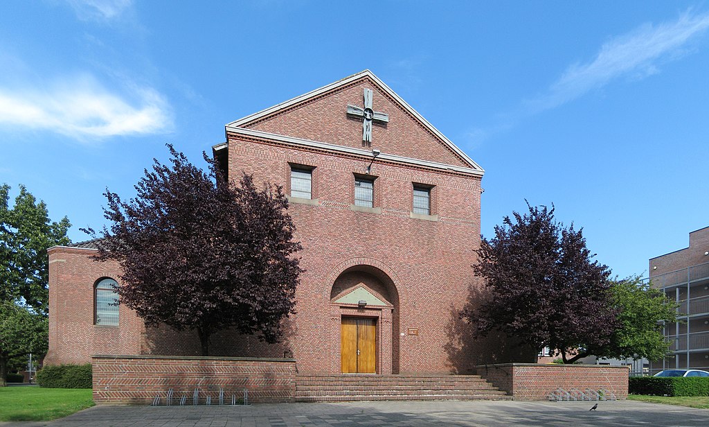
English: The Roman Catholic San Salvatorkerk (1951/1962) in the Dutch city of Groningen.
Frysk: De roomske San Salvatorkerk op de súdeasthoeke fan de Hora Siccamasingel en de Van Iddekingeweg oan de westrâne fan de Grinzer wyk Helpman. It gebou, dat yn de perioade 1951-1962 yn twa fases boud is, waard ûntwurpen yn de styl fan de Bossche School troch it Nijmeegske arsjitekteburo Deur & Pouderoyen. It is in gemeentlik monumint (obj.nr. 104358).
Nederlands: De rooms-katholieke San Salvatorkerk (1951/1962, Deur & Pouderoyen, Bossche School) op de hoek van de Hora Siccamasingel en de Van Iddekingeweg in de Groninger wijk Helpman. Het gebouw is een gemeentelijk monument (obj.nr. 104358).
|
||
| Date | |||
| Source | Own work | ||
| Author | |||
| Attribution (required by the license) | Wutsje / Wikimedia Commons / | ||
| Permission (Reusing this file) |
This file is licensed under the Creative Commons Attribution-Share Alike 4.0 International license.
|
||
| Other versions |
_Groningen_NL_(cylindrical).jpg) |
| Camera location | | View this and other nearby images on: OpenStreetMap |
|---|
_Groningen_NL_(rectilinear).jpg¶ms=053.197603_N_0006.574739_E_globe:Earth_type:camera_region:NL_heading:95.00&language=en)
File history
Click on a date/time to view the file as it appeared at that time.
| Date/Time | Thumbnail | Dimensions | User | Comment | |
|---|---|---|---|---|---|
| current | 17:02, 21 March 2023 | | 5,808 × 3,492 (6.54 MB) | Wutsje (talk | contribs) | {{Information |Description= {{en|1=The Roman Catholic '''San Salvatorkerk''' (1951/1962) in the Dutch city of Groningen.}} {{fy|1=De roomske '''San Salvatorkerk''' op de súdeasthoeke fan de ''Hora Siccamasingel'' en de Van Iddekingeweg oan de westrâne fan de Grinzer wyk Helpman. It gebou, dat yn de perioade 1951-1962 yn twa fases boud is, waard ûntwurpen yn de styl fa... |
You cannot overwrite this file.
File usage on Commons
The following 3 pages use this file:
File usage on other wikis
The following other wikis use this file:
- Usage on nl.wikipedia.org
- Usage on www.wikidata.org
_Groningen_NL_(rectilinear).jpg&oldid=775091273)