File:2013 Fort Tryon Park main entrance sign at Margaret Corbin Circle in snow.jpg
Size of this preview: 800 × 600 pixels. Other resolutions: 320 × 240 pixels | 640 × 480 pixels | 1,024 × 768 pixels | 1,280 × 960 pixels | 2,560 × 1,920 pixels | 3,264 × 2,448 pixels.
Original file (3,264 × 2,448 pixels, file size: 2.46 MB, MIME type: image/jpeg)
Captions
Captions
Add a one-line explanation of what this file represents
Summary
edit
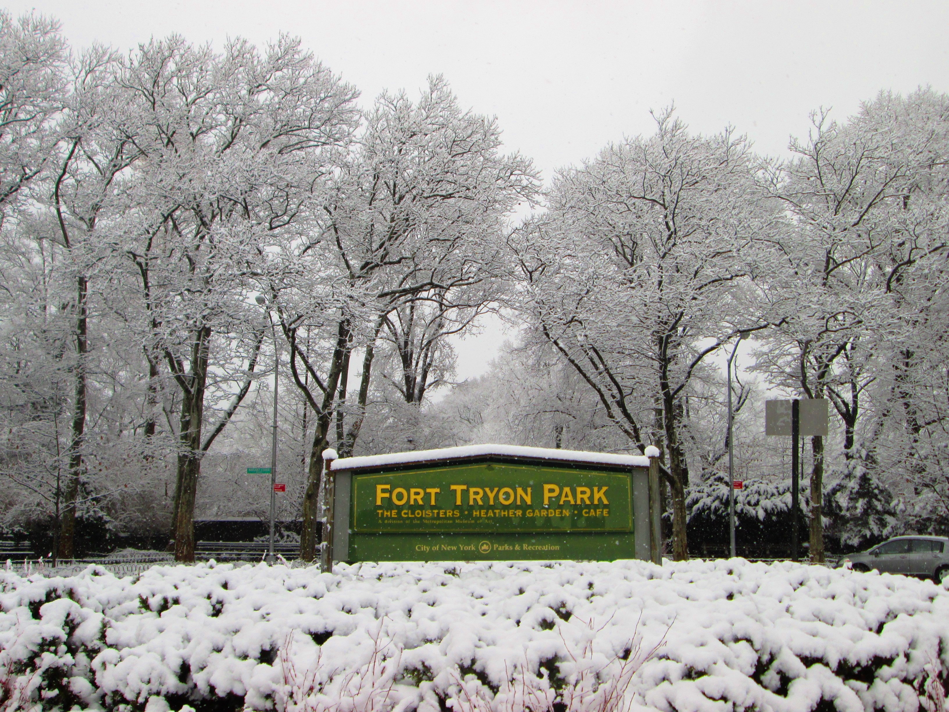
| Description | Fort Tryon Park was created when philanthropist John D. Rockefeller, Jr. began to buy up the county estates in the area where the Battle of Washington Heights was fought in the Revolutionary War, in order to create a park. He engaged Frederick Law Olmsted, Jr. of the Olmsted Brothers firm to design the park (James W. Dawson created the planting plan), and gave it to the city in 1931; the park was completed in 1935. Rockefeller also gave to the Metropolitan Museum of Art a collection of medieval art, and the museum built The Cloisters in the park to house it, completing it in 1939. The park extends from West 190th Street to Dyckman Street and from Broadway to Riverside Drive/West Side Highway. The main entrance to the part is at Margaret Corbin Circle, at the intersection of Fort Washington Avenue and Cabrini Boulevard. The park was added to the NRHP in 1978 and was designated a NYC Scenic Landmark in 1983. (Sources: Guide to NYC Landmarks (4th ed.) and AIA Guide to NYC (5th ed.)) |
| Date | |
| Source | Own work |
| Author | Beyond My Ken |
| Camera location | | View this and other nearby images on: OpenStreetMap |
|---|
Licensing
edit
I, the copyright holder of this work, hereby publish it under the following licenses:

|
Permission is granted to copy, distribute and/or modify this document under the terms of the GNU Free Documentation License, Version 1.2 or any later version published by the Free Software Foundation; with no Invariant Sections, no Front-Cover Texts, and no Back-Cover Texts. A copy of the license is included in the section entitled GNU Free Documentation License. |
This file is licensed under the Creative Commons Attribution-Share Alike 4.0 International, 3.0 Unported, 2.5 Generic, 2.0 Generic and 1.0 Generic license.
- You are free:
- to share – to copy, distribute and transmit the work
- to remix – to adapt the work
- Under the following conditions:
- attribution – You must give appropriate credit, provide a link to the license, and indicate if changes were made. You may do so in any reasonable manner, but not in any way that suggests the licensor endorses you or your use.
- share alike – If you remix, transform, or build upon the material, you must distribute your contributions under the same or compatible license as the original.
You may select the license of your choice.
File history
Click on a date/time to view the file as it appeared at that time.
| Date/Time | Thumbnail | Dimensions | User | Comment | |
|---|---|---|---|---|---|
| current | 03:43, 14 December 2013 | | 3,264 × 2,448 (2.46 MB) | Beyond My Ken (talk | contribs) | adjustments |
| 02:29, 14 December 2013 |  | 3,264 × 2,448 (2.46 MB) | Beyond My Ken (talk | contribs) | {== {{int:filedesc}} == {{Information |Description= '''Fort Tryon Park''' was created when philanthropist John D. Rockefeller, Jr. began to buy up the county estates in the area where the Battle of Washington Heights was fought... |
You cannot overwrite this file.
File usage on Commons
The following 3 pages use this file:
File usage on other wikis
The following other wikis use this file:
- Usage on ceb.wikipedia.org
- Usage on de.wikivoyage.org
- Usage on en.wikipedia.org
- Usage on en.wikivoyage.org
- Usage on es.wikipedia.org
- Usage on he.wikipedia.org
- Usage on www.wikidata.org