File:47-526x484-Lot-et-Garonne-carte-A.jpg
No higher resolution available.
47-526x484-Lot-et-Garonne-carte-A.jpg (526 × 484 pixels, file size: 61 KB, MIME type: image/jpeg)
Captions
Captions
Add a one-line explanation of what this file represents
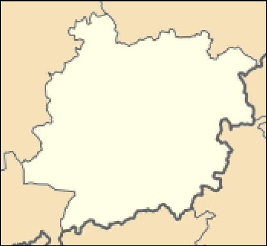
- Carte 47 Lot-et-Garonne Administrative
- fr:Modèle:Géolocalisation/Lot-et-Garonne
- source:travail personnel
- licence:

|
Permission is granted to copy, distribute and/or modify this document under the terms of the GNU Free Documentation License, Version 1.2 or any later version published by the Free Software Foundation; with no Invariant Sections, no Front-Cover Texts, and no Back-Cover Texts. A copy of the license is included in the section entitled GNU Free Documentation License. |
File history
Click on a date/time to view the file as it appeared at that time.
| Date/Time | Thumbnail | Dimensions | User | Comment | |
|---|---|---|---|---|---|
| current | 07:15, 20 August 2013 | | 526 × 484 (61 KB) | Wikisoft* (talk | contribs) | *Carte 47 Lot-et-Garonne Administrative *fr:Modèle:Géolocalisation/Lot-et-Garonne *source:travail personnel *licence:{{GFDL]] *Category:Lot-et-Garonne |
You cannot overwrite this file.
File usage on Commons
The following page uses this file:
File usage on other wikis
The following other wikis use this file:
- Usage on pl.wikibooks.org