File:52-600x735-Carte-52-Haute-Marne-A.svg

Size of this PNG preview of this SVG file: 489 × 599 pixels. Other resolutions: 196 × 240 pixels | 392 × 480 pixels | 627 × 768 pixels | 836 × 1,024 pixels | 1,672 × 2,048 pixels | 600 × 735 pixels.
Original file (SVG file, nominally 600 × 735 pixels, file size: 24 KB)
Captions
Captions
Add a one-line explanation of what this file represents
| Description |
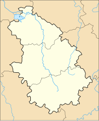
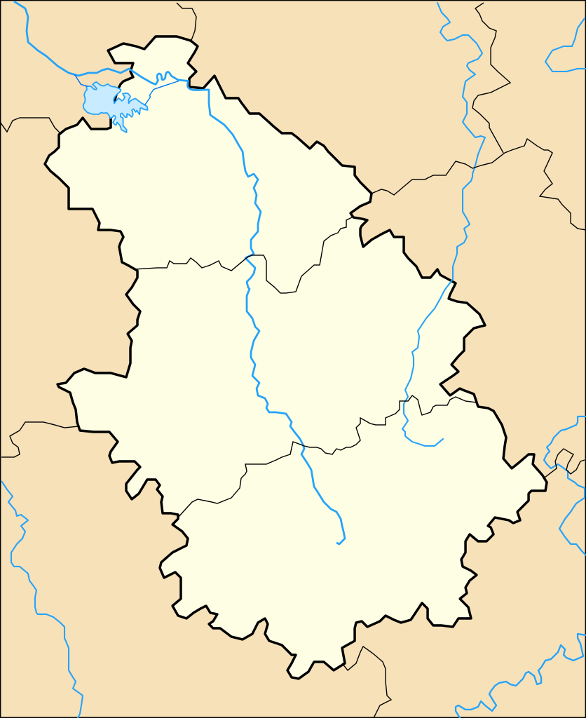
Carte Haute-Marne Administrative |
||||
| Date | 3 January 2013 (upload date) | ||||
| Source | Own work | ||||
| Author | Wikisoft* 09:06, 3 January 2013 (UTC) | ||||
| Permission (Reusing this file) |
|
||||
| Other versions |
|
||||
| SVG development |

File history
Click on a date/time to view the file as it appeared at that time.
| Date/Time | Thumbnail | Dimensions | User | Comment | |
|---|---|---|---|---|---|
| current | 09:06, 3 January 2013 | | 600 × 735 (24 KB) | Wikisoft* (talk | contribs) | {{Information |Description=Carte Haute-Marne Administrative *fr:Modèle:Géolocalisation/Haute-Marne |Source=Travail personnel |Date=03/01/2013 |Author=~~~~ |Permission={{GFDL-GMT}} |other_versions=Category:Haute-Marne *Prjection equirecta... |
You cannot overwrite this file.
File usage on Commons
The following page uses this file:
File usage on other wikis
The following other wikis use this file:
- Usage on eu.wikipedia.org
- Usage on ru.wikipedia.org