File:600-634 Main Street, south side of street; view of north (front) sides of buildings - Main Street, 600 and 700 Block (Buildings), Louisville, Jefferson County, KY HABS KY,56-LOUVI,10-3.tif

Size of this JPG preview of this TIF file: 429 × 599 pixels. Other resolutions: 172 × 240 pixels | 344 × 480 pixels | 550 × 768 pixels | 733 × 1,024 pixels | 1,467 × 2,048 pixels | 3,581 × 5,000 pixels.
Original file (3,581 × 5,000 pixels, file size: 17.08 MB, MIME type: image/tiff)
Captions
Captions
Add a one-line explanation of what this file represents
Summary edit
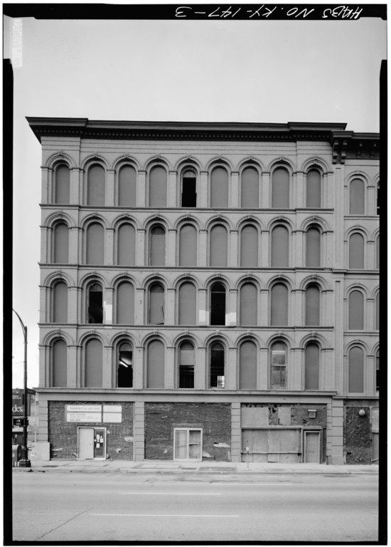
| 600-634 Main Street, south side of street; view of north (front) sides of buildings - Main Street, 600 and 700 Block (Buildings), Louisville, Jefferson County, KY | ||||
|---|---|---|---|---|
| Title |
600-634 Main Street, south side of street; view of north (front) sides of buildings - Main Street, 600 and 700 Block (Buildings), Louisville, Jefferson County, KY |
|||
| Description |
Jandoli, Liz, transmitter |
|||
| Depicted place | Kentucky; Jefferson County; Louisville | |||
| Date | Documentation compiled after 1933 | |||
| Dimensions | 5 x 7 in. | |||
| Current location |
Library of Congress Prints and Photographs Division Washington, D.C. 20540 USA http://hdl.loc.gov/loc.pnp/pp.print |
|||
| Accession number |
HABS KY,56-LOUVI,10-3 |
|||
| Credit line |
|
|||
| Notes |
|
|||
| Source | https://www.loc.gov/pictures/item/ky0005.photos.070774p | |||
| Permission (Reusing this file) |
|
|||

| Object location | | View this and other nearby images on: OpenStreetMap |
|---|
File history
Click on a date/time to view the file as it appeared at that time.
| Date/Time | Thumbnail | Dimensions | User | Comment | |
|---|---|---|---|---|---|
| current | 13:24, 19 July 2014 |  | 3,581 × 5,000 (17.08 MB) | Fæ (talk | contribs) | GWToolset: Creating mediafile for Fæ. HABS 16 July 2014 (1201:1400) |
You cannot overwrite this file.
File usage on Commons
The following page uses this file: