File:800px-Oceanie2.png
No higher resolution available.
800px-Oceanie2.png (778 × 498 pixels, file size: 68 KB, MIME type: image/png)
Captions
Captions
Add a one-line explanation of what this file represents
Summary edit
| Description |
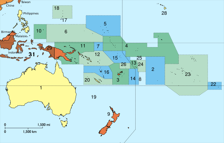
Français : Carte de l'Océanie English: A map of Oceania. Modified version of a thumbnail of File:Oceanie2.svg. The modification is the addition of the number "31" to identify East Timor. |
| Source | This version was presumably modified by the uploader User:Domaleixo. It is a modified version of File:Oceanie2.svg, which is derived from File:Oceania ISO 3166-1.svg. |
| Author |
Júlio Reis is the author of the map File:Oceania ISO 3166-1.svg. Some modifications were made by User:Nevers for the version File:Oceanie2.svg. The version "File:800px-Oceanie2.png" uploaded here on 13 November 2007 was presumably modified by User:Domaleixo. |
Licensing edit
This file is licensed under the Creative Commons Attribution-Share Alike 3.0 Unported license.
- You are free:
- to share – to copy, distribute and transmit the work
- to remix – to adapt the work
- Under the following conditions:
- attribution – You must give appropriate credit, provide a link to the license, and indicate if changes were made. You may do so in any reasonable manner, but not in any way that suggests the licensor endorses you or your use.
- share alike – If you remix, transform, or build upon the material, you must distribute your contributions under the same or compatible license as the original.
File history
Click on a date/time to view the file as it appeared at that time.
| Date/Time | Thumbnail | Dimensions | User | Comment | |
|---|---|---|---|---|---|
| current | 15:28, 19 June 2010 | | 778 × 498 (68 KB) | Ras67 (talk | contribs) | cropped |
| 01:58, 13 November 2007 |  | 800 × 520 (88 KB) | Domaleixo (talk | contribs) | Atualization de la carte actuelle utilisée au matier de la Oceanie. Emerson |
You cannot overwrite this file.
File usage on Commons
The following page uses this file:
File usage on other wikis
The following other wikis use this file:
- Usage on ml.wikipedia.org