File:A'ali an-Nil Sudan map with districts.svg

Size of this PNG preview of this SVG file: 424 × 600 pixels. Other resolutions: 170 × 240 pixels | 339 × 480 pixels | 543 × 768 pixels | 724 × 1,024 pixels | 1,448 × 2,048 pixels | 744 × 1,052 pixels.
Original file (SVG file, nominally 744 × 1,052 pixels, file size: 155 KB)
Captions
Captions
Add a one-line explanation of what this file represents
| Description |
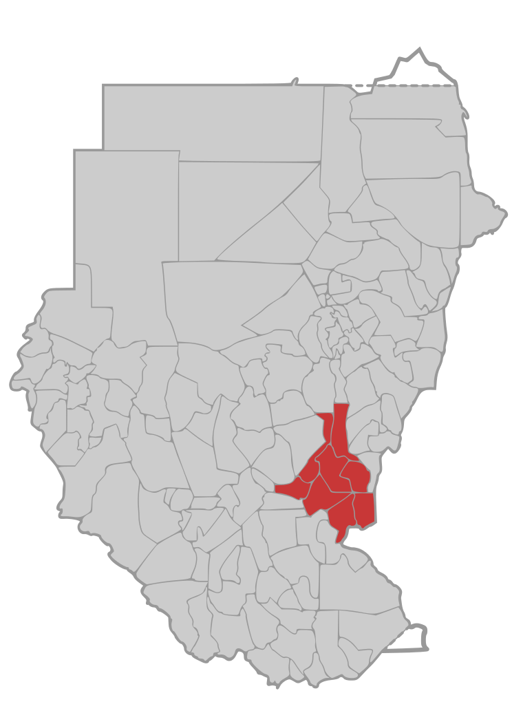
English: Map of Upper Nile state with district borders, in the Greater Upper Nile region of northeastern South Sudan.
|
||
| Date | |||
| Source | own work, based on Image:Sudan district map.svg | ||
| Author | de:user:Sven-steffen arndt | ||
| Permission (Reusing this file) |
|
File history
Click on a date/time to view the file as it appeared at that time.
| Date/Time | Thumbnail | Dimensions | User | Comment | |
|---|---|---|---|---|---|
| current | 00:14, 29 December 2006 | | 744 × 1,052 (155 KB) | Sven-steffen arndt (talk | contribs) | {{Information |Description=Map of Upper Nile State with district borders in Sudan |Source=own work, based on Image:Sudan district map.svg |Date=28. December 2006 |Author=de:user:Sven-steffen arndt |Permission={{PD-self}} |other_versions= }} [[C |
You cannot overwrite this file.
File usage on Commons
There are no pages that use this file.