File:APPROACH; VIEW TO SOUTH. - Auwaiakeakua Bridge, Spanning Auwaiakekua Gulch at Mamalahoa Highway, Waikoloa, Hawaii County, HI HAER HI,1-WAIK,1-2.tif

Size of this JPG preview of this TIF file: 755 × 599 pixels. Other resolutions: 302 × 240 pixels | 605 × 480 pixels | 968 × 768 pixels | 1,280 × 1,016 pixels | 2,560 × 2,032 pixels | 5,000 × 3,969 pixels.
Original file (5,000 × 3,969 pixels, file size: 18.93 MB, MIME type: image/tiff)
Captions
Captions
Add a one-line explanation of what this file represents
Summary edit
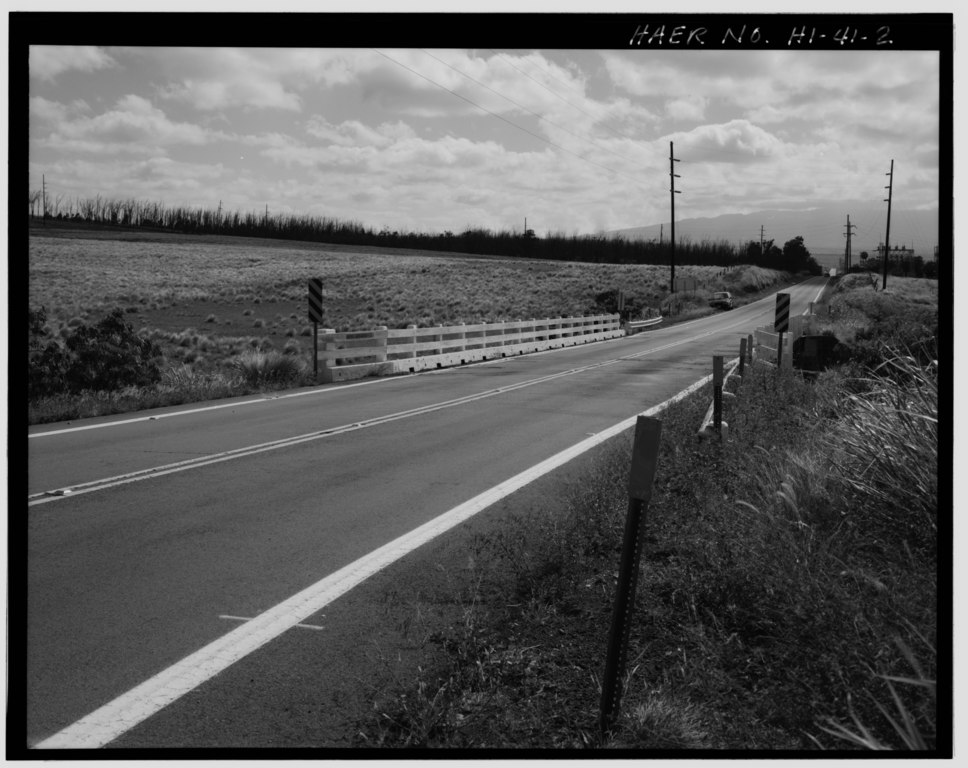
| APPROACH; VIEW TO SOUTH. - Auwaiakeakua Bridge, Spanning Auwaiakekua Gulch at Mamalahoa Highway, Waikoloa, Hawaii County, HI | ||||
|---|---|---|---|---|
| Photographer |
Franzen, David |
|||
| Title |
APPROACH; VIEW TO SOUTH. - Auwaiakeakua Bridge, Spanning Auwaiakekua Gulch at Mamalahoa Highway, Waikoloa, Hawaii County, HI |
|||
| Depicted place | Hawaii; Hawaii County; Waikoloa | |||
| Date | 1997 | |||
| Dimensions | 4 x 5 in. | |||
| Current location |
Library of Congress Prints and Photographs Division Washington, D.C. 20540 USA http://hdl.loc.gov/loc.pnp/pp.print |
|||
| Accession number |
HAER HI,1-WAIK,1-2 |
|||
| Credit line |
|
|||
| Notes |
|
|||
| Source | https://www.loc.gov/pictures/item/hi0488.photos.317987p | |||
| Permission (Reusing this file) |
|
|||

| Object location | | View this and other nearby images on: OpenStreetMap |
|---|
File history
Click on a date/time to view the file as it appeared at that time.
| Date/Time | Thumbnail | Dimensions | User | Comment | |
|---|---|---|---|---|---|
| current | 04:35, 12 July 2014 |  | 5,000 × 3,969 (18.93 MB) | Fæ (talk | contribs) | GWToolset: Creating mediafile for Fæ. HABS 11 July 2014 (1001:1200) |
You cannot overwrite this file.
File usage on Commons
The following page uses this file: